Please play the music to enhance you experience
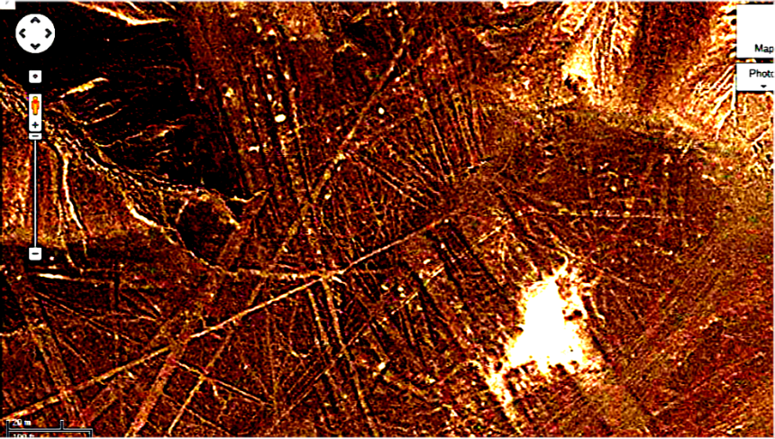
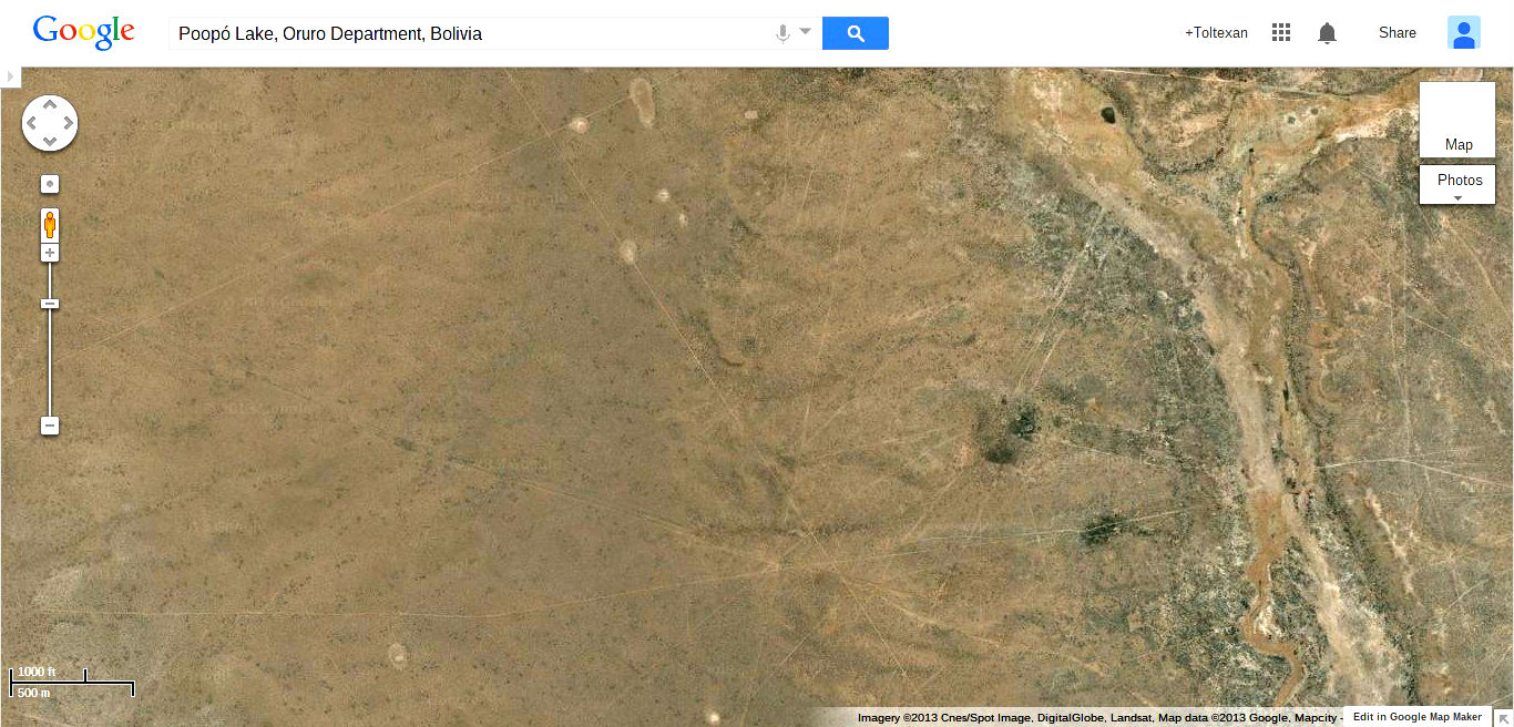
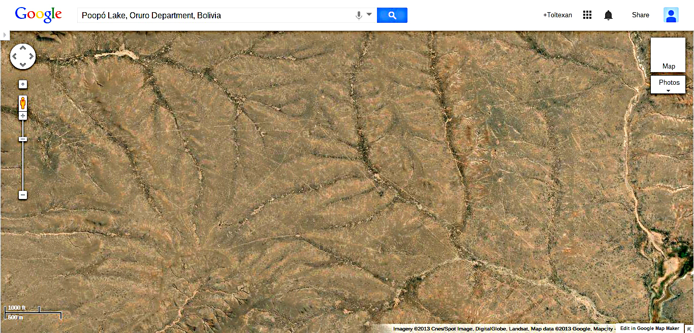
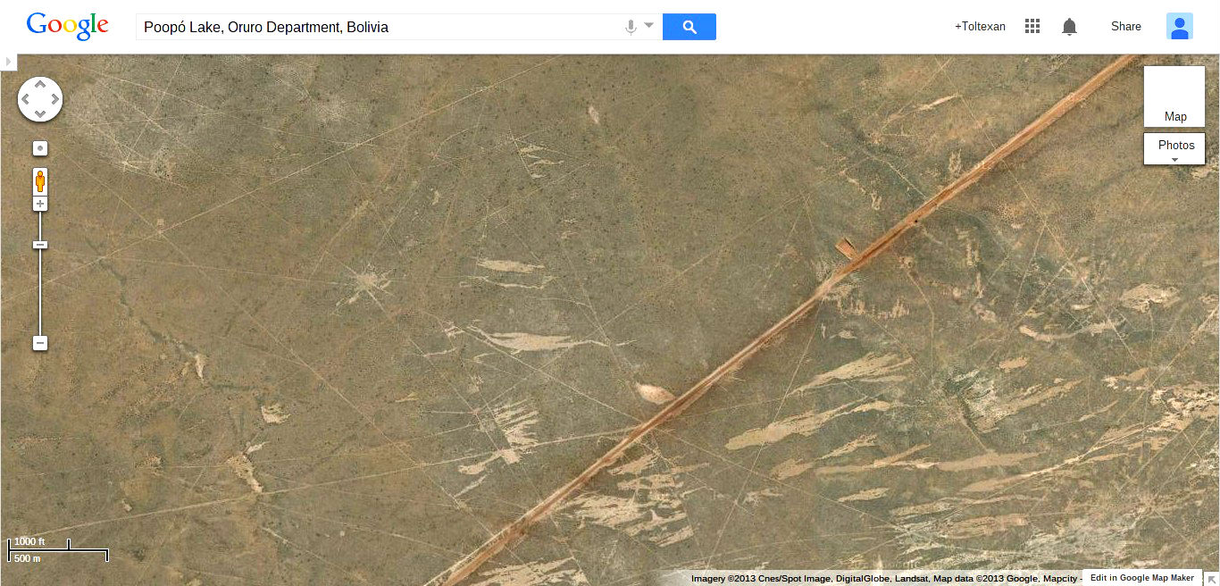
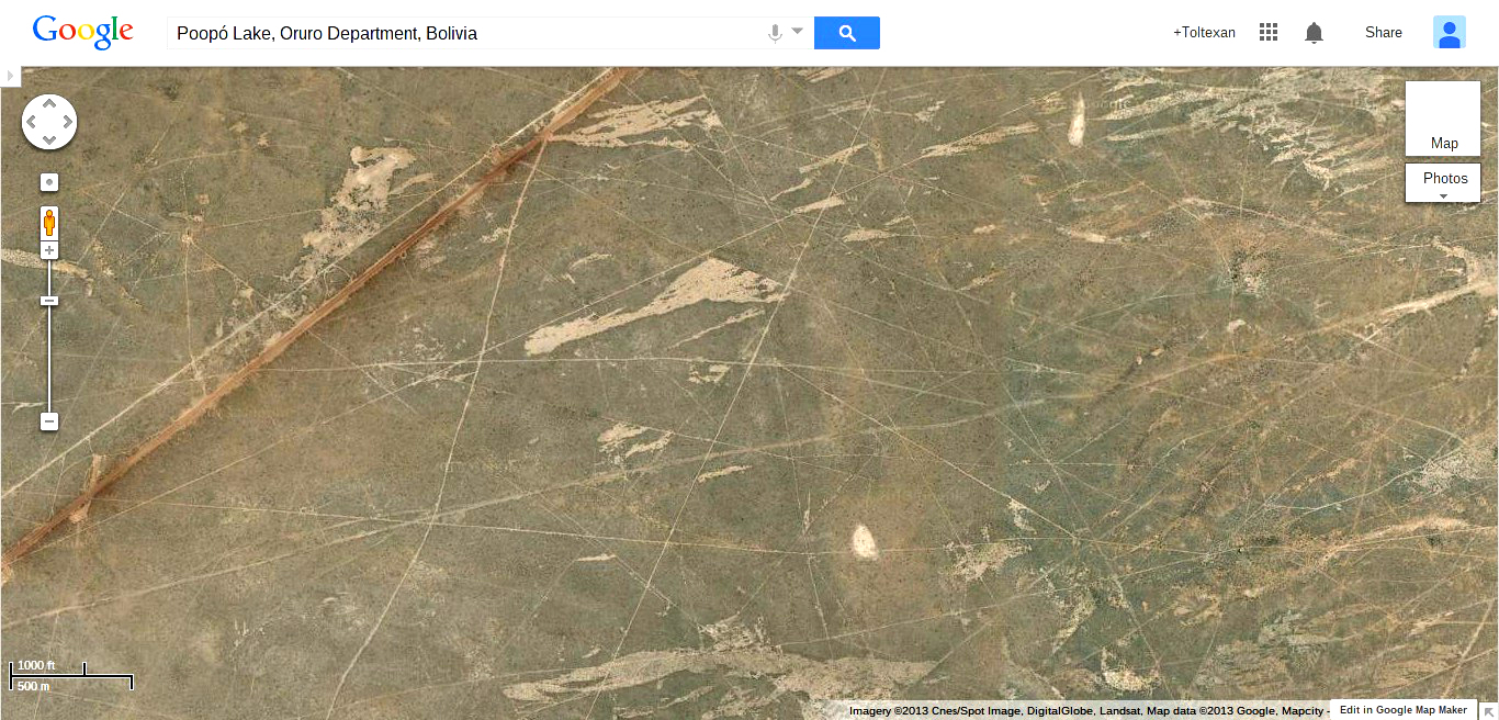
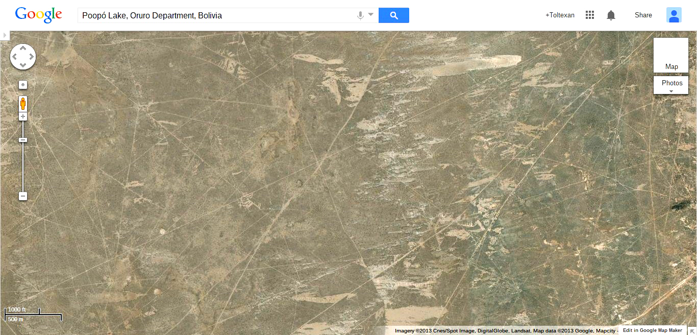
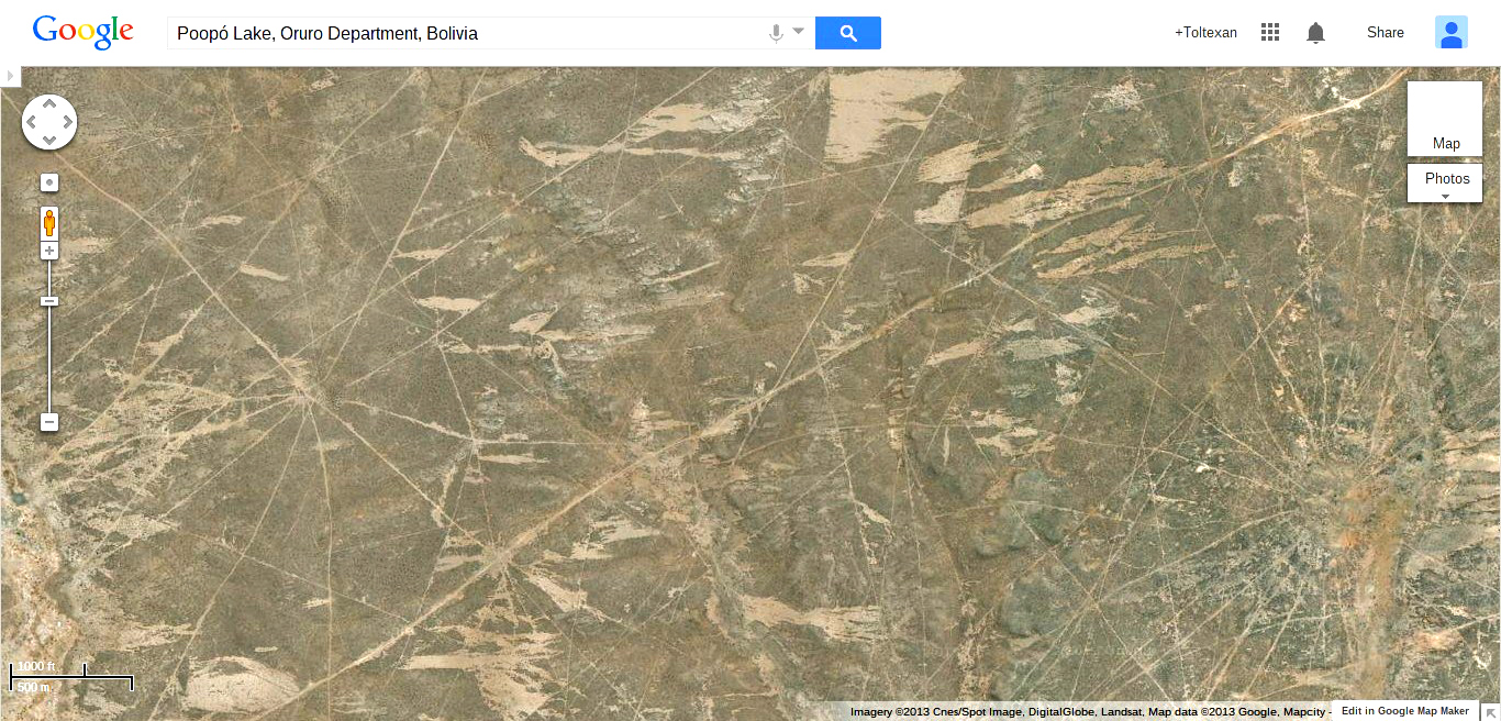
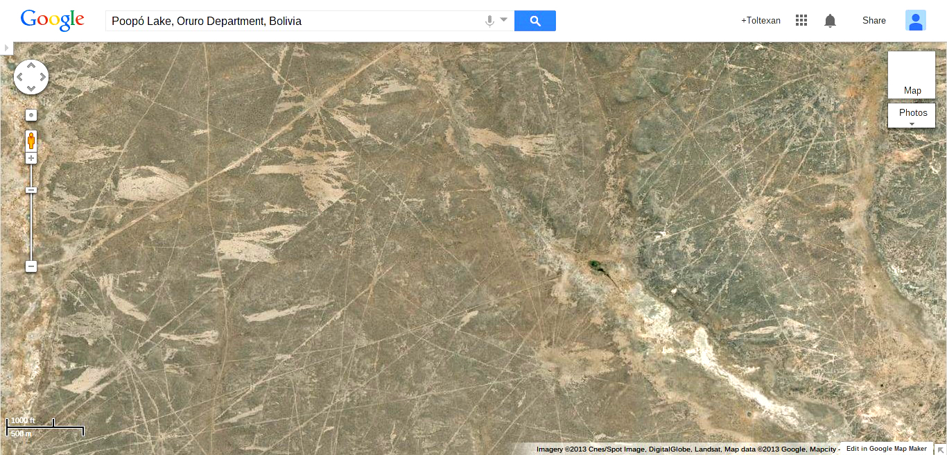
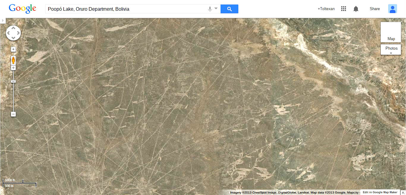
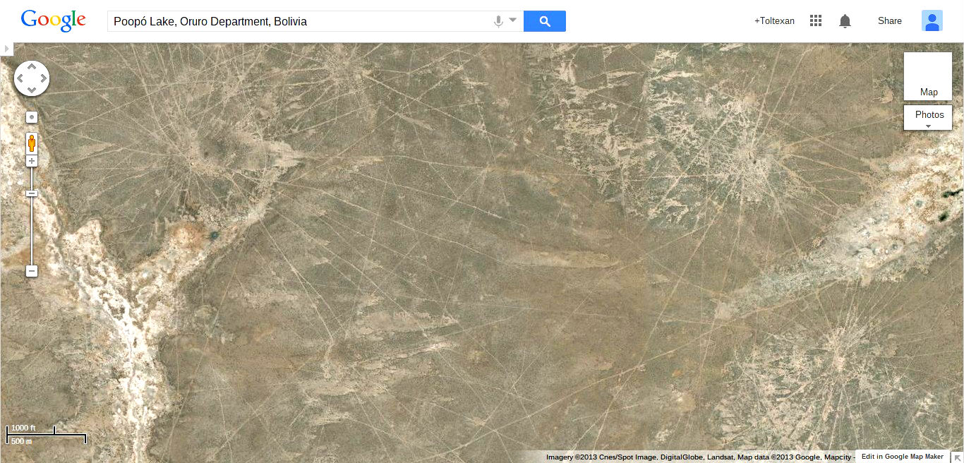
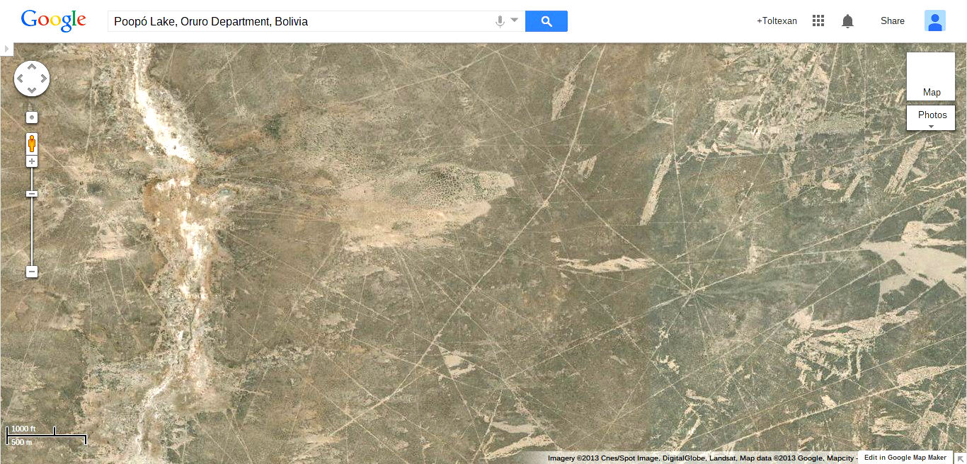
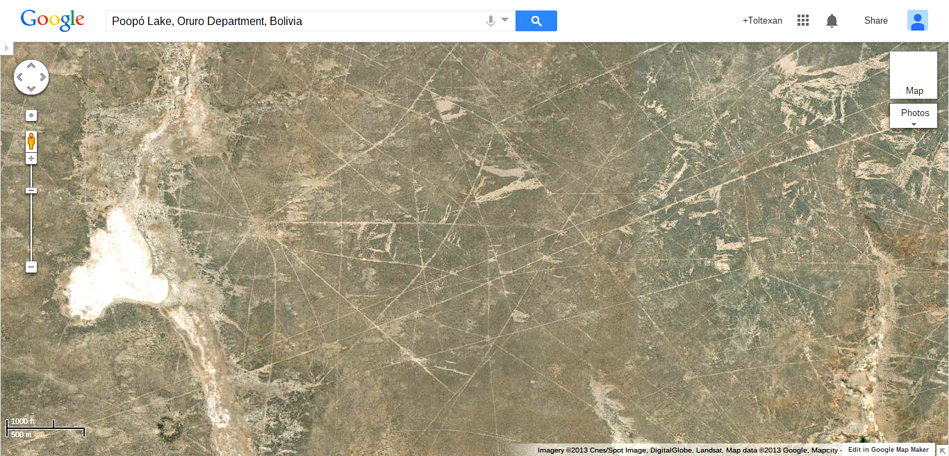
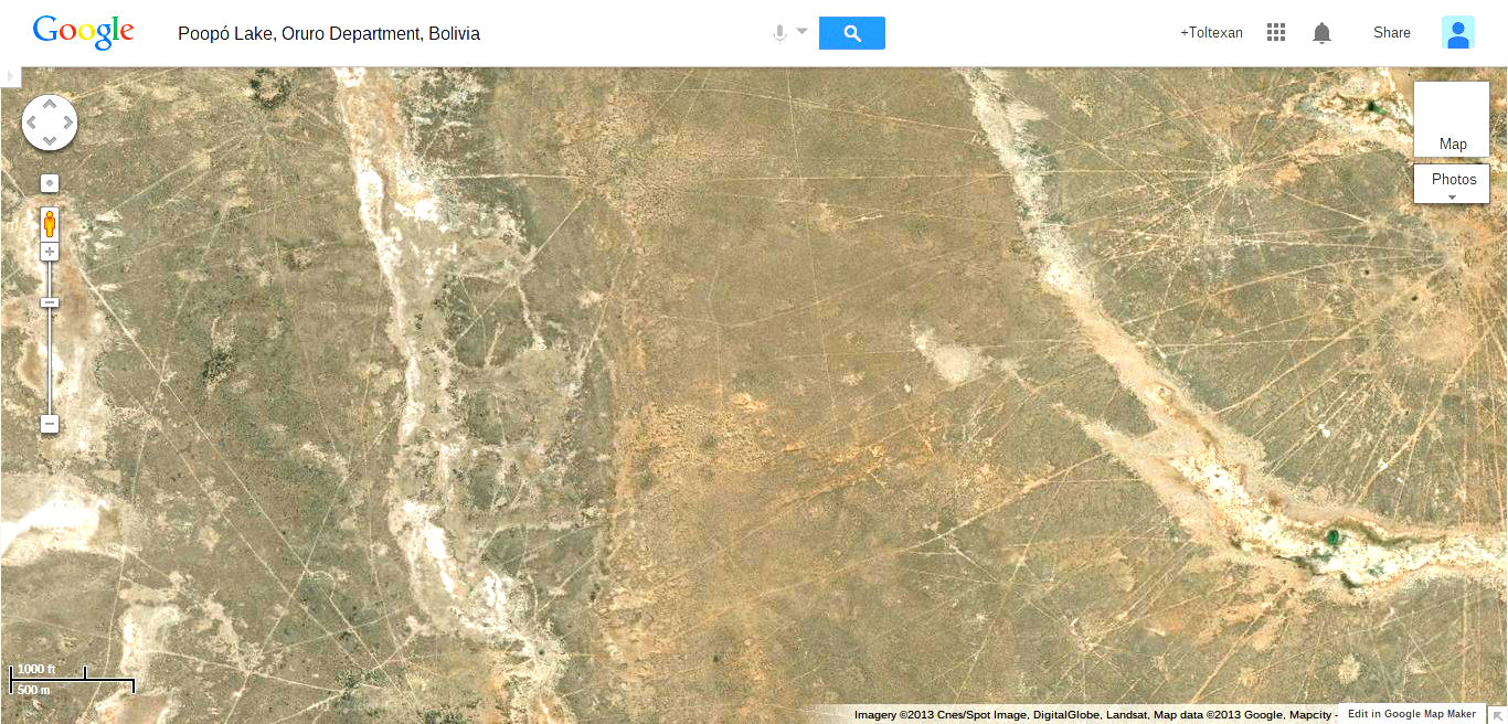
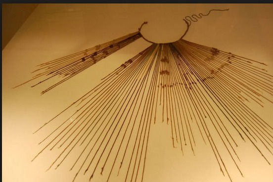
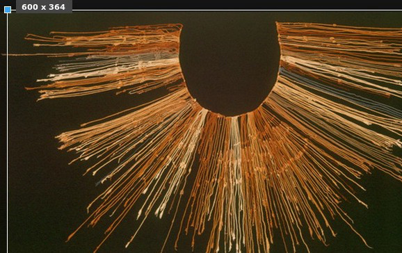
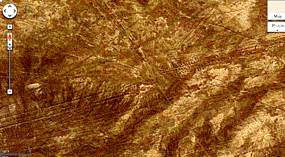
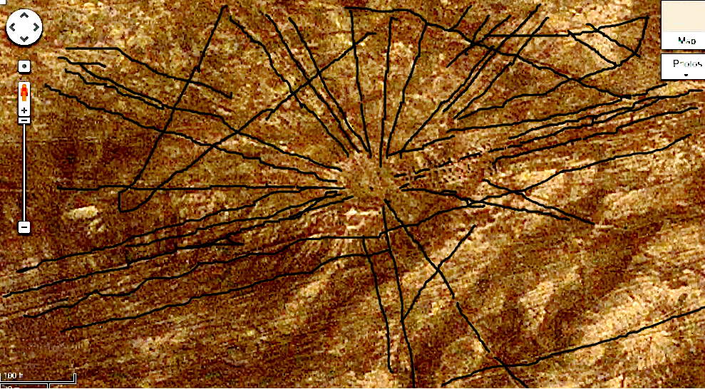
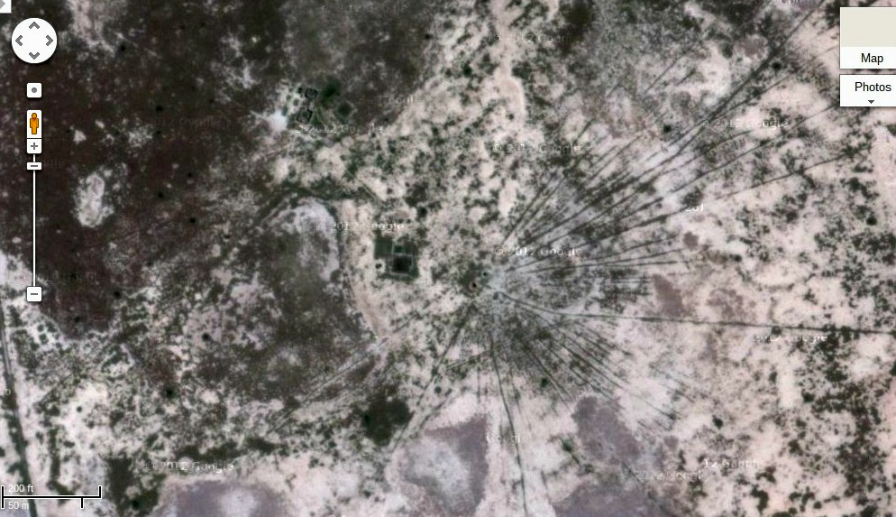
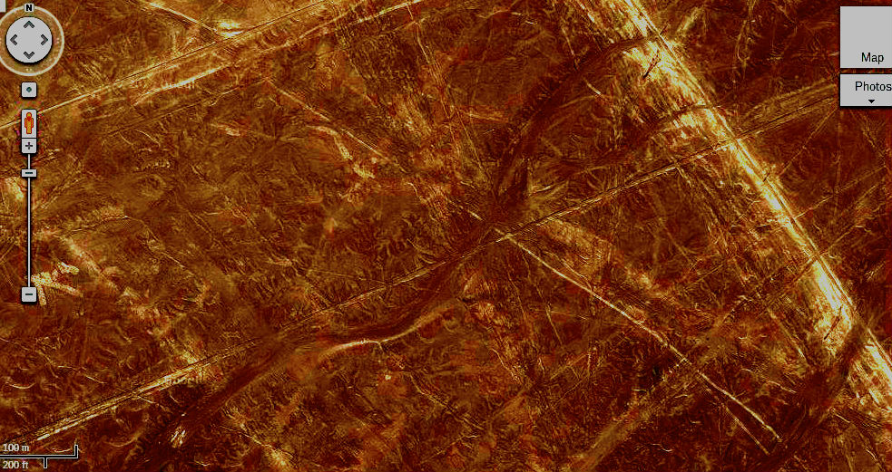
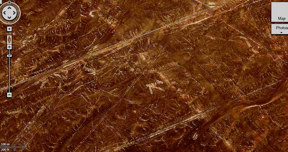
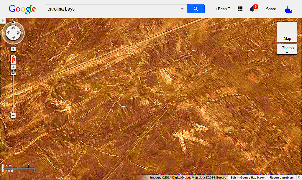
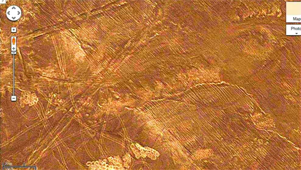
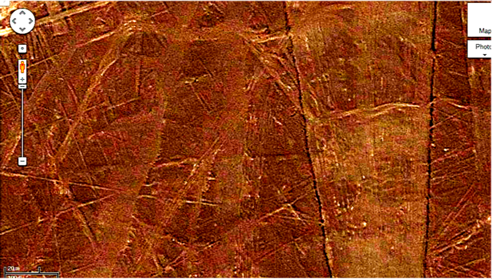
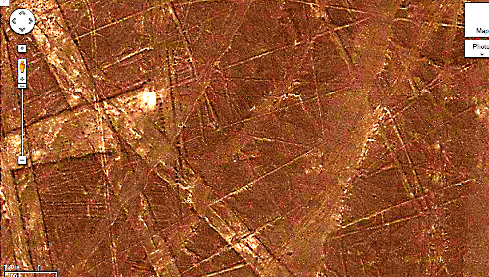
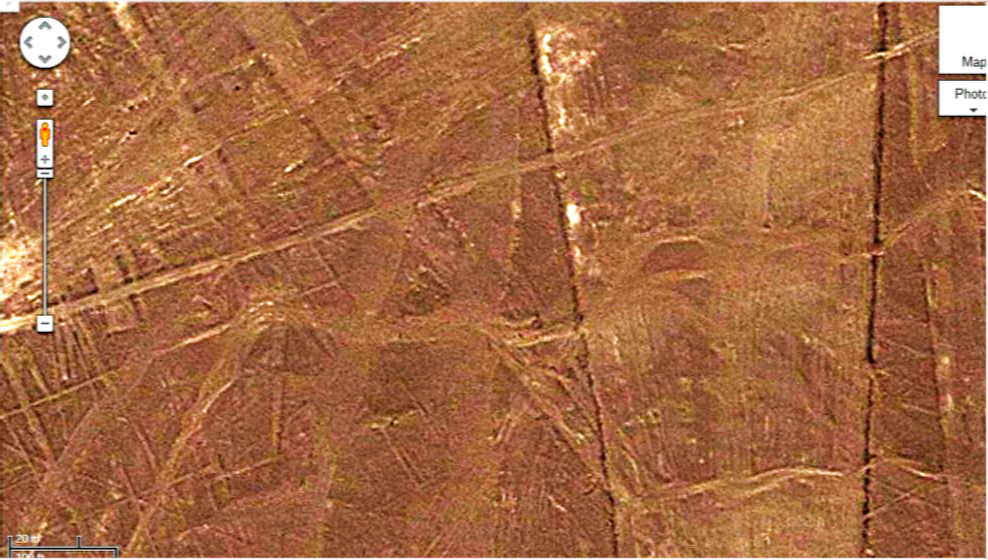
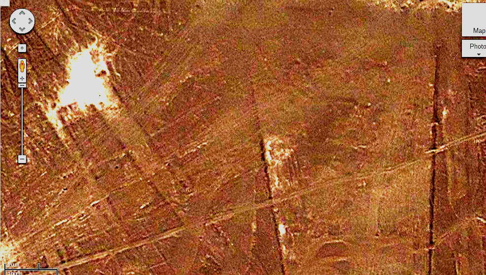
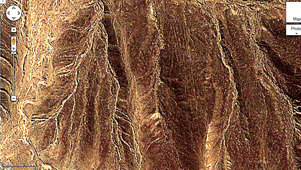
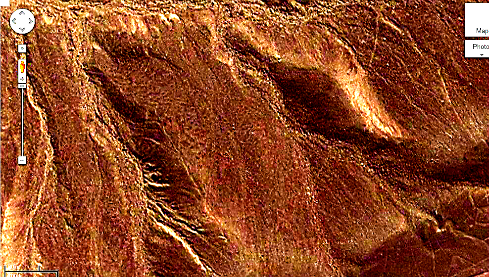
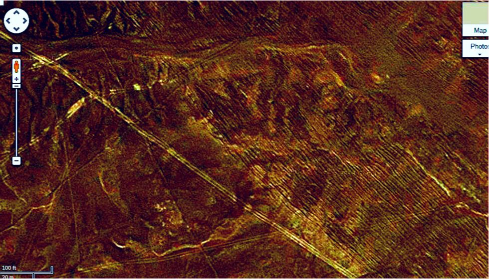
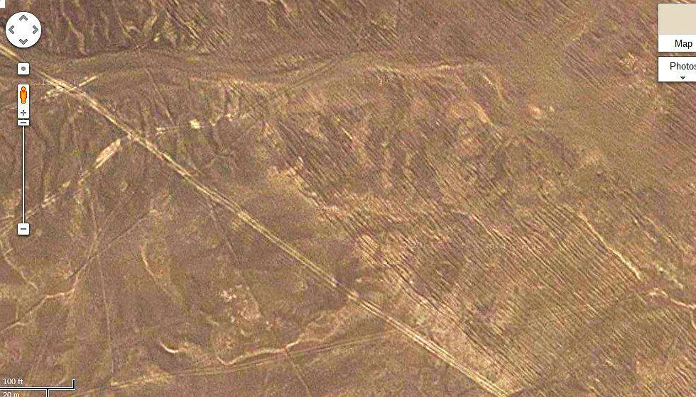
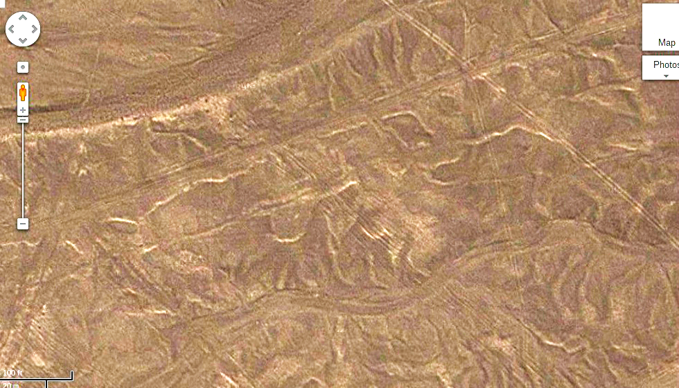
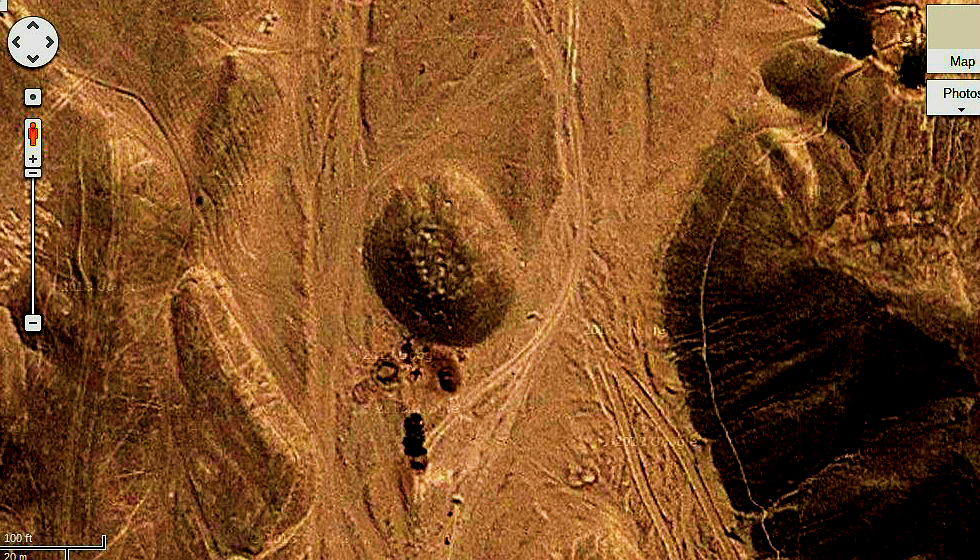
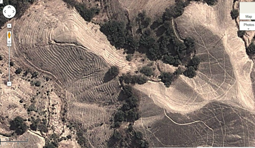
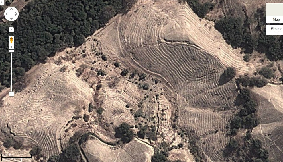
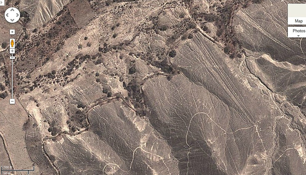
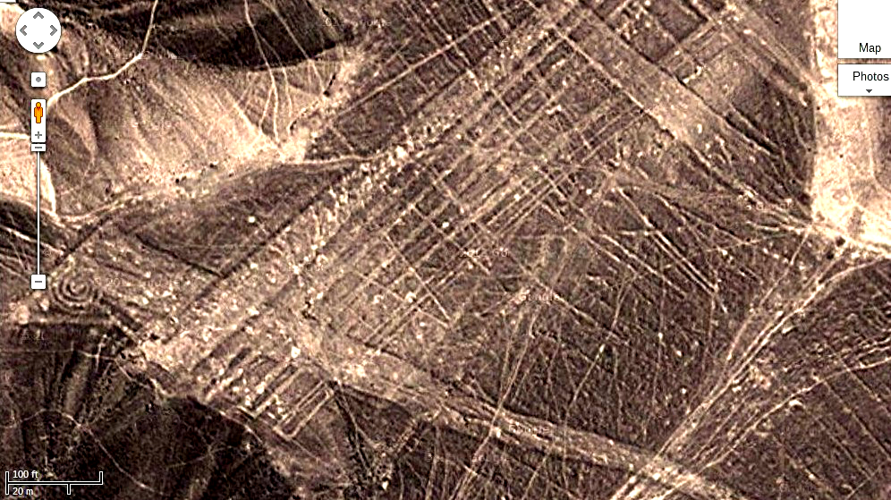
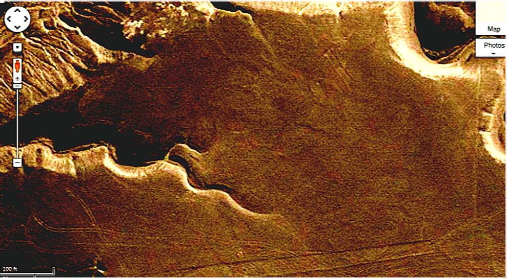
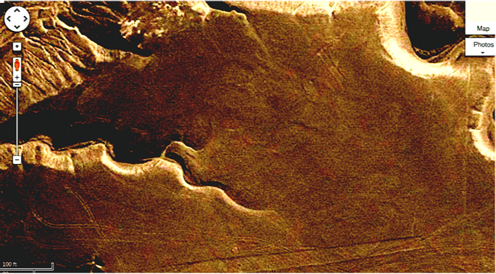
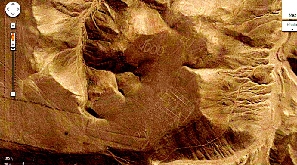
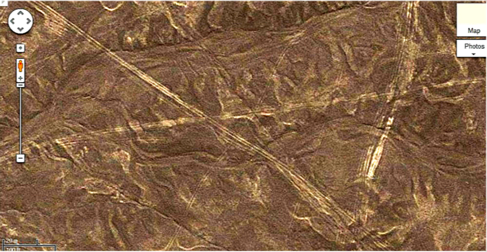
Strange configurations of lines are found all over Bolivia, Peru and Chile. The most famous are the Nazca lines. Here are some images of lines found near Lake Poopo. Just what the lines are has long been a mystery, but the answer seems obvious once it is explained. The ancient South Americans since 3,000 BC used line writing. It is a very foreign concept to the Western mind, but the Inca used it to communicate across their empire in the form of quipu. It is most likely that the lines that criss cross the deserts of South America are a form of writing. When the quipu is laid out flat it looks just like Nazca lines. The quipu were knotted ropes used for writing. No one really knows how to read quipu any more very well, although they know they can be used for a wide variety of concepts. To the ancients who would have known how to read they would have been as obvious as today's headlines. Take a look at the images. What do you think they are? What might it be saying. The images on the Nazca plain are probably illustrations for the text. What do you see here? When you view the evidence I think you will agree. Any other explanation seems unreasonable.
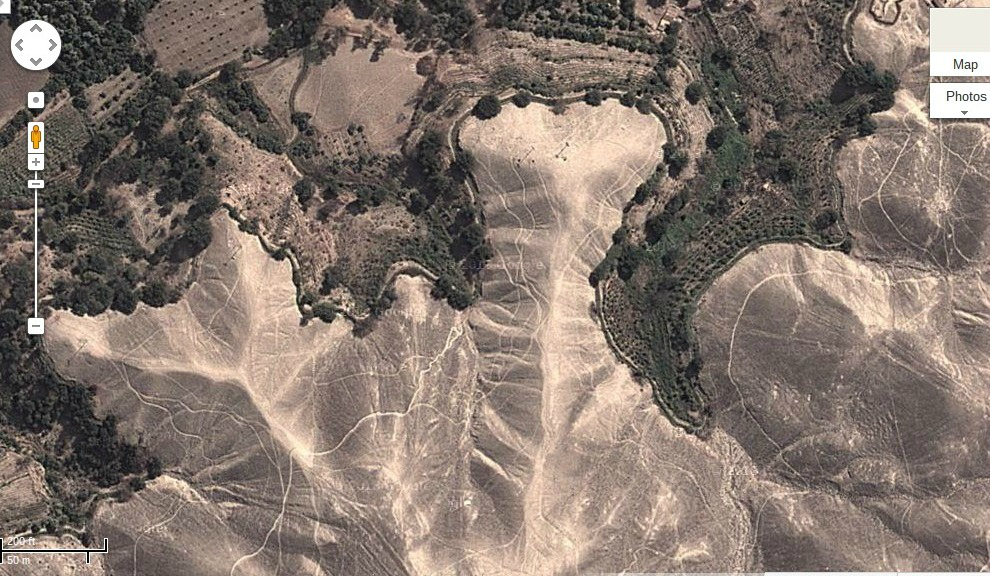
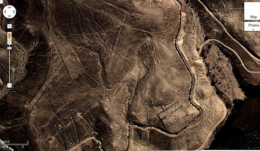
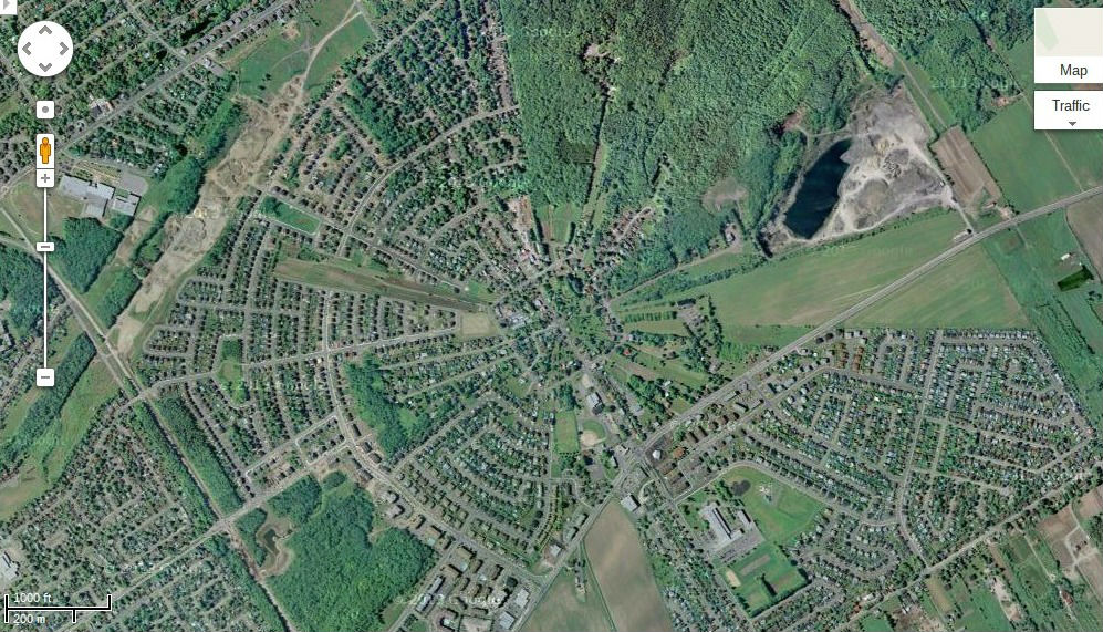
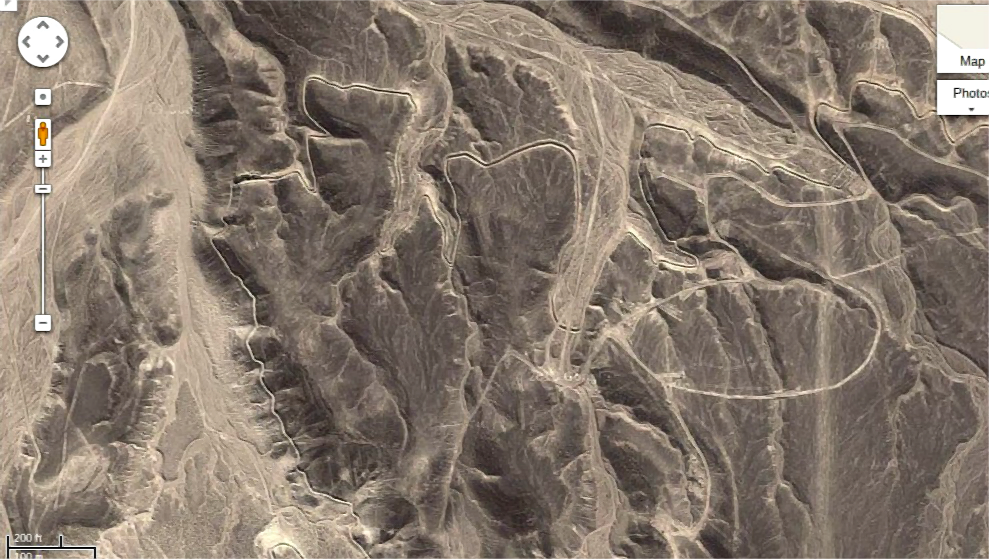
The other use of the pattern of the quipu was for land division. A similar pattern can be seen from 16th Quebec City where fields were divided in a radiating pattern so that each field would have access to the central water supply. Both of these systems are seen in Bolivia and on the Nazca Plain. The Nazca plain also has extensive ruins including a vast canal system. There is a city with many large buildings that run along the southern branch of the Nazca river that stretches for several kilometers on both sides of the river.
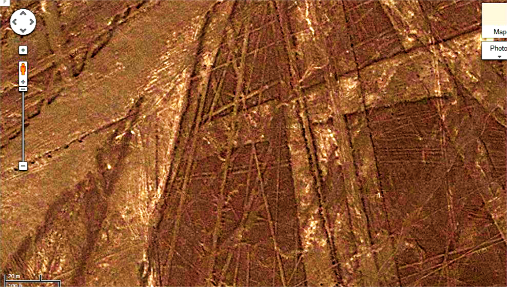
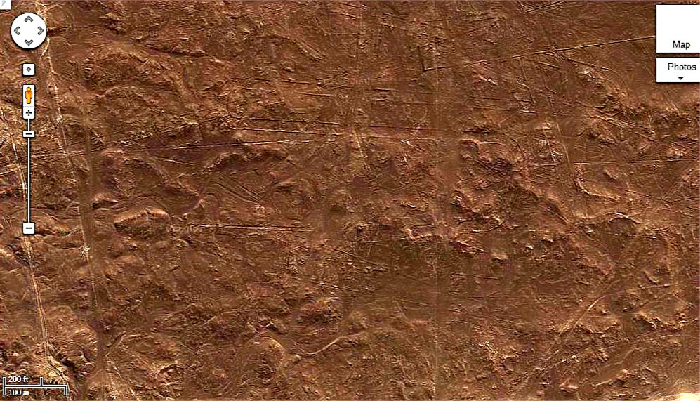
There is artwork on the Plain that is far more important than the geoglyphs that have made the plain so famous. Advanced art forms are employed and there are also at least three astrolabes that could easily be used for keeping time, finding the ascendant, and for predicting both eclipses and the positions of the planets.
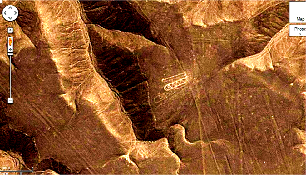
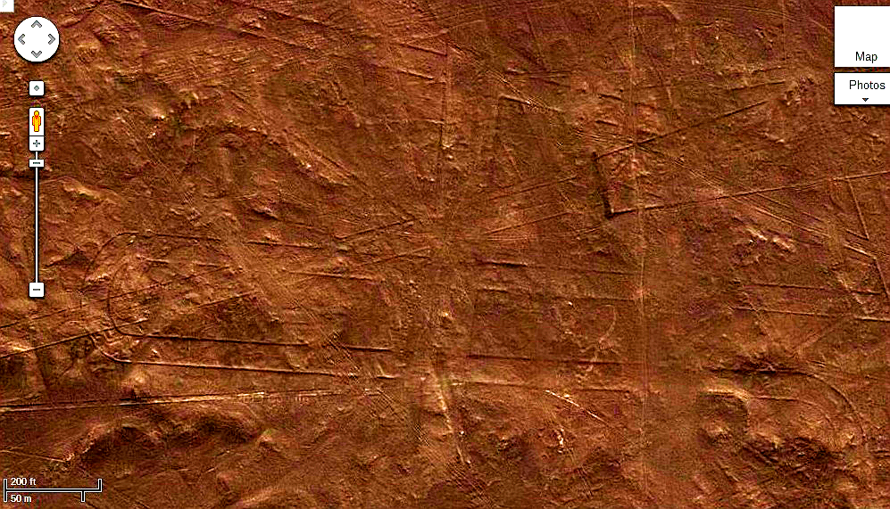
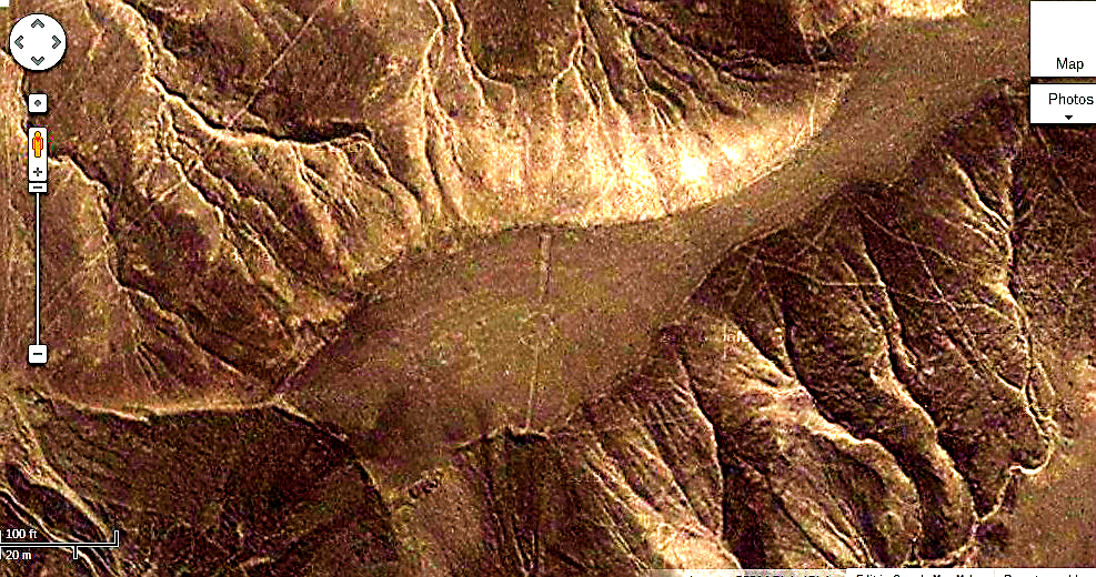
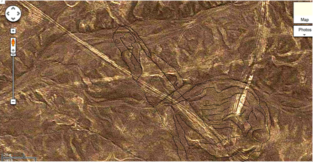
I have studied astronomy for over 45 years and it is very evident that the employment of the lines is partly astronomical without a doubt. I would easily be able to use the instruments to find the positions of the stars in the sky, with the aid of quipu tables. I would be able tell you what the exact time was, with a little practice. Previous assumptions about the astronomical use of the lines was not considering them as more advanced instruments. The smaller instrument, probably the larger as well, would probably be better described as planispheres. Planispheres often have radiating lines from a central pivot point and then straight lines along the bottom to represent you horizon. This is exactly the configuration of the smaller instrument. The larger instrument has radiating lines in all directions from a central pivot point. Both these instruments could be used for timing the transits of planets and stars. It appears that in fact the Nazca Plain was constructed over thousands of years. In the one image you will see dam across a river that has not flowed for thousands of years as evidenced by the fact that above the dam there are Nazca Lines in the river bed, so they had to be put there at least 1500 years ago. In some areas the complexity of the art work is so profound it boggles the mind as to how it was even done. Most have captions which help to explain what you are seeing, so I hope this helps to make the interpretation more clear.
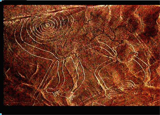
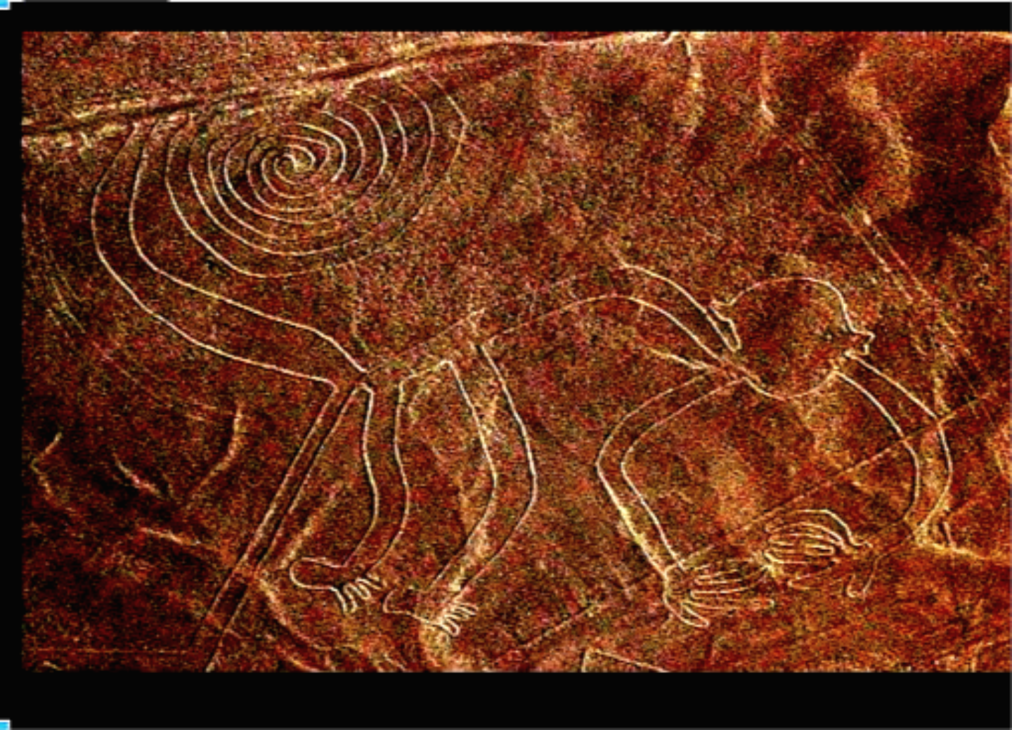
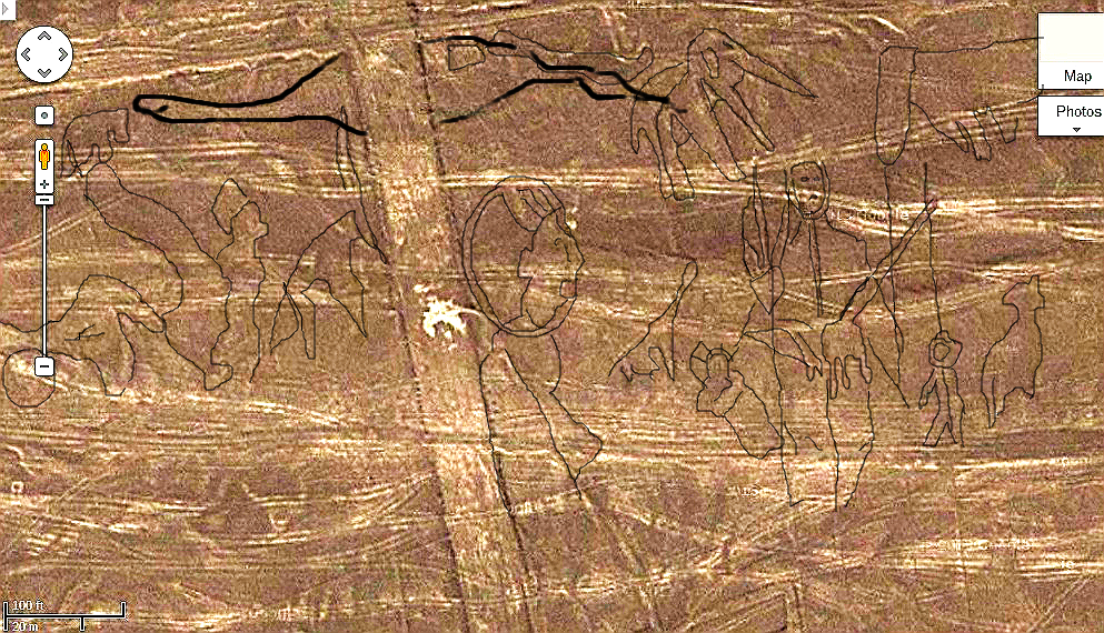
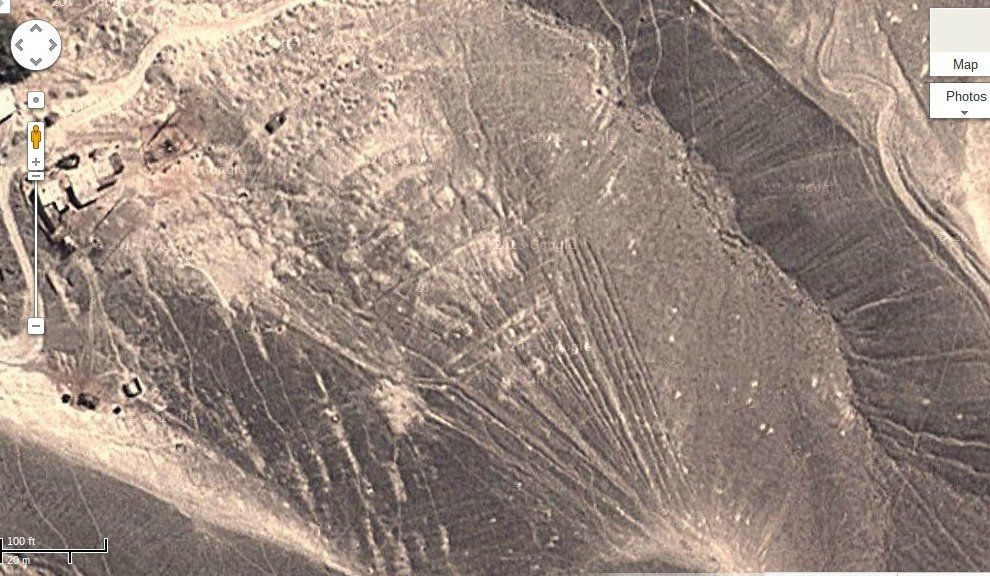
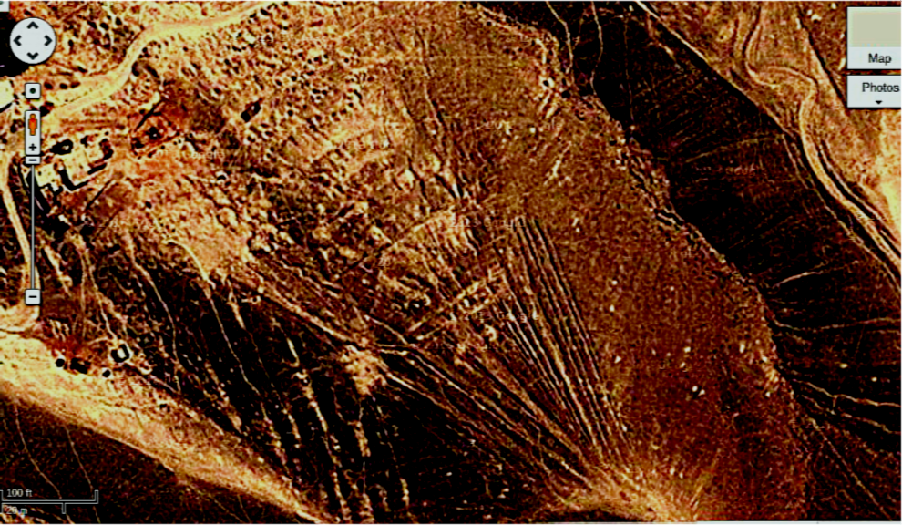
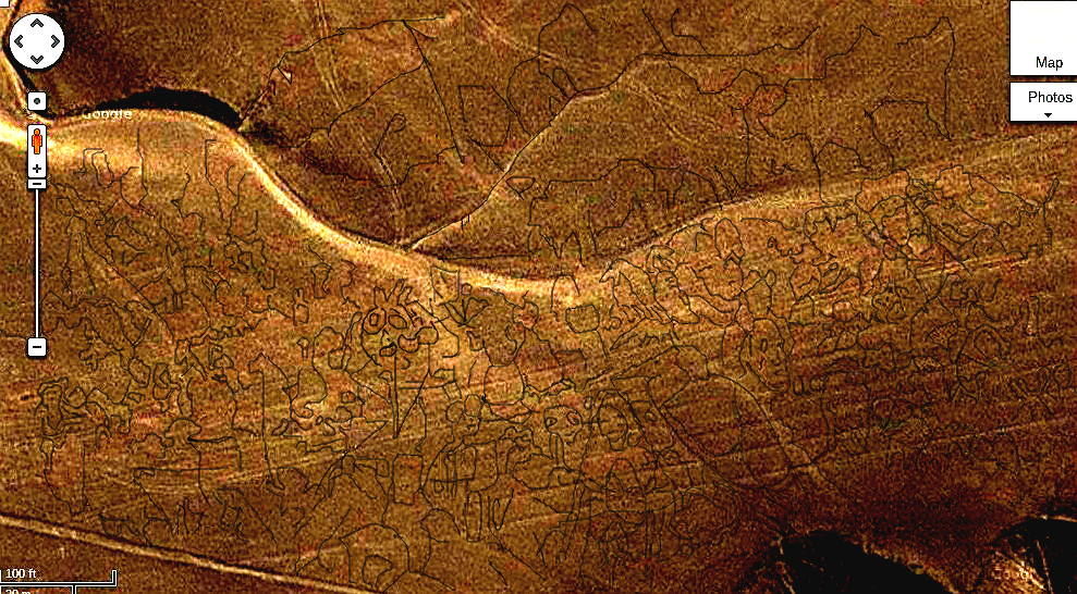
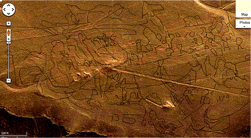
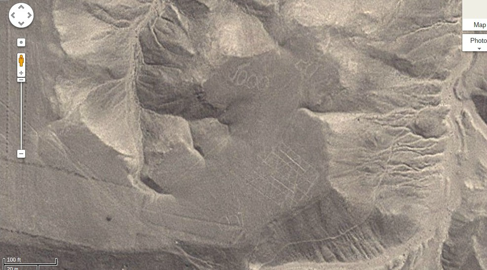
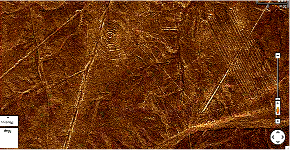
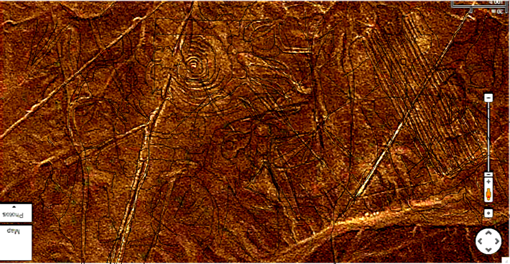
Did you know that monkey on the Nazca Plain has a face? And it appears to be hiding something. Take a look for yourself. My conclusion is that this is a case of A Canticle for Leobowitz as it appears that the most advanced images are the very oldest images and later on over thousands of years it was embellished, just like the circuit diagram in Leobowitz. See what you think, but when you see the detail it is beyond anything I would imagined possible anywhere, anytime!
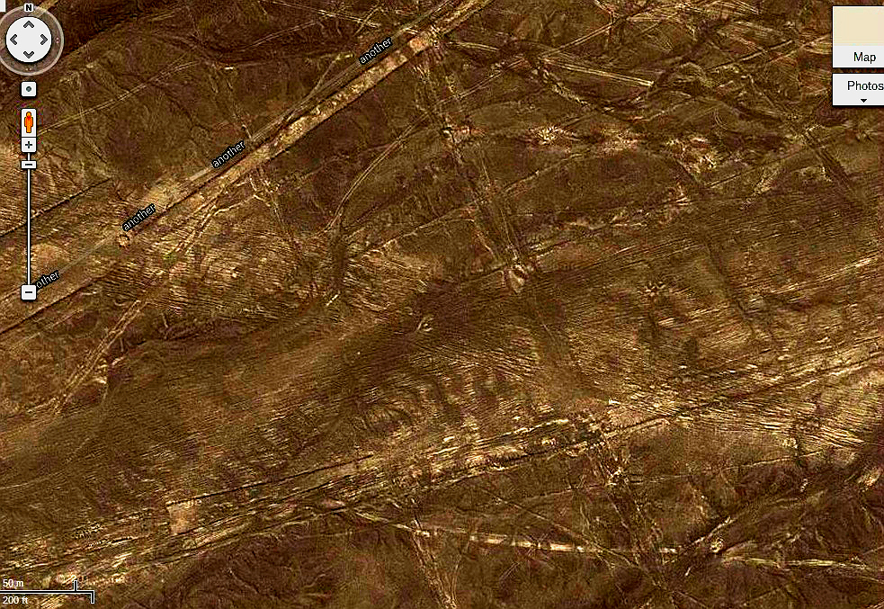
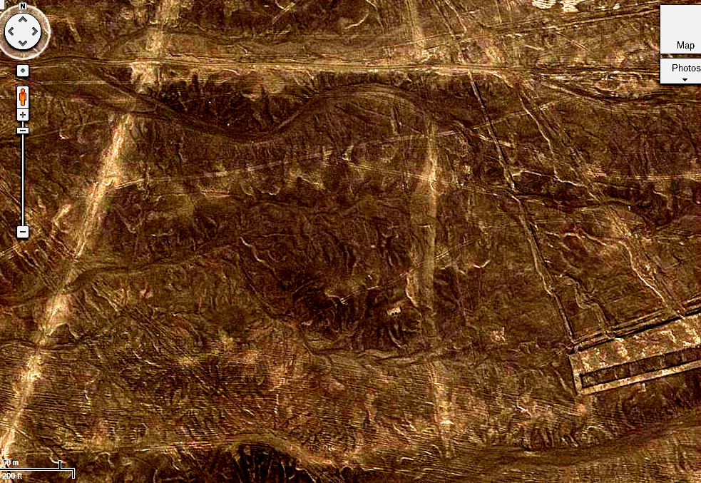
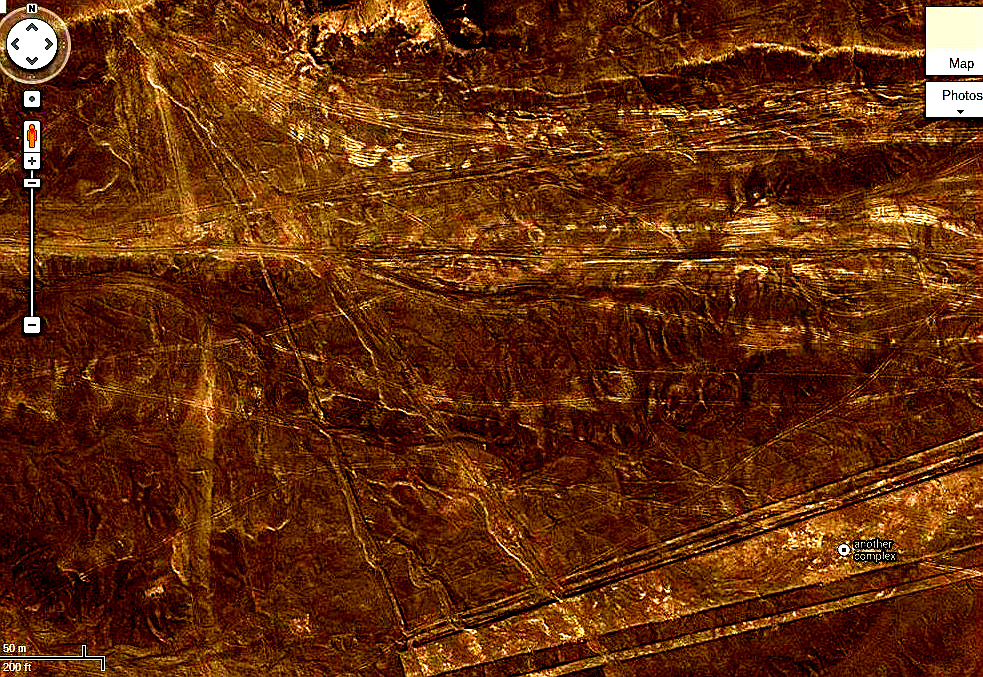
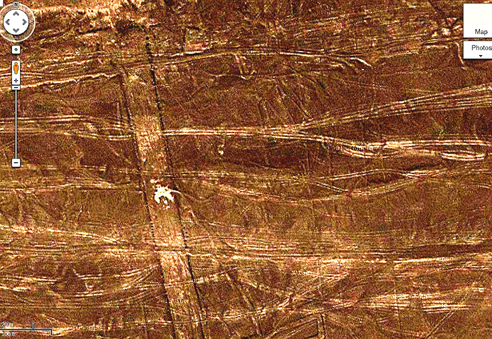
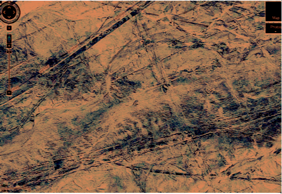
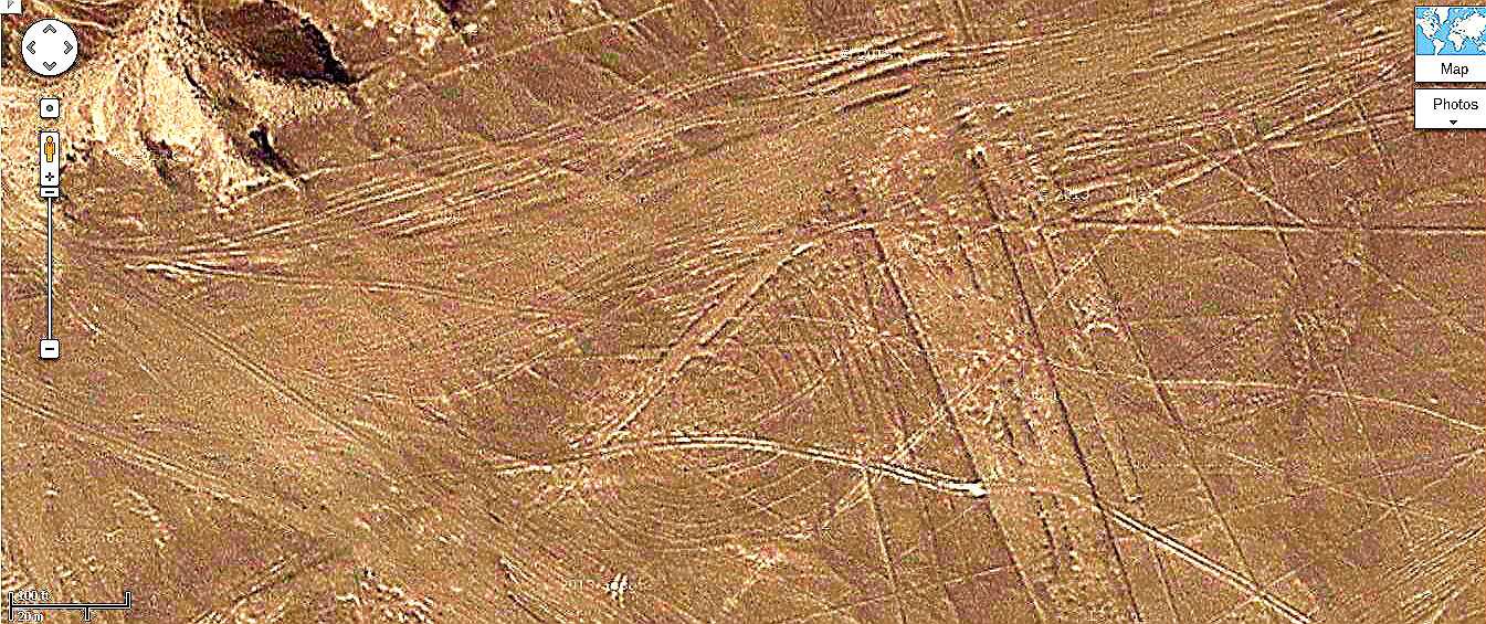
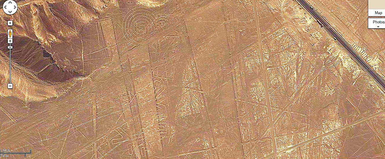
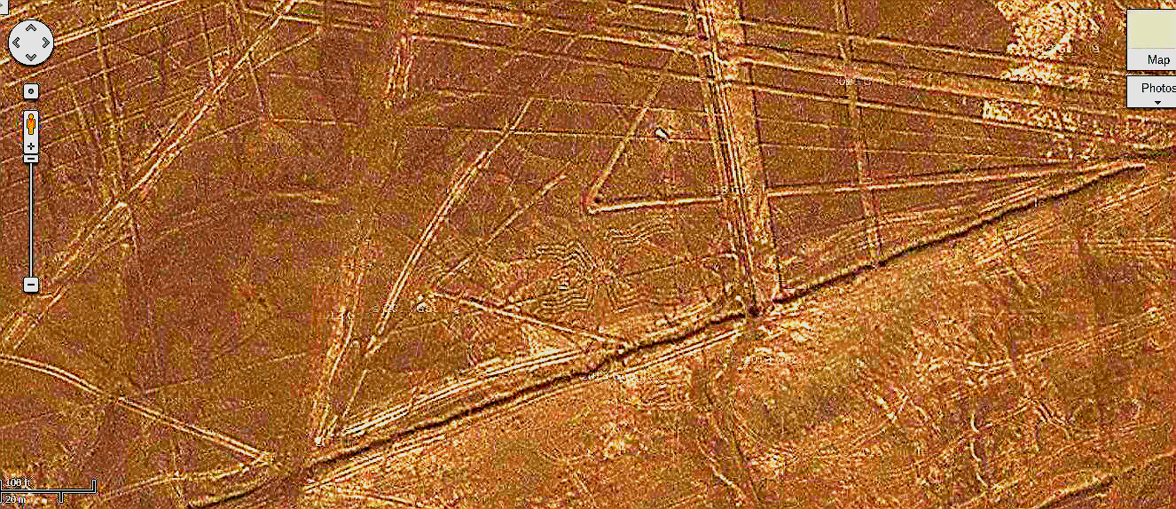
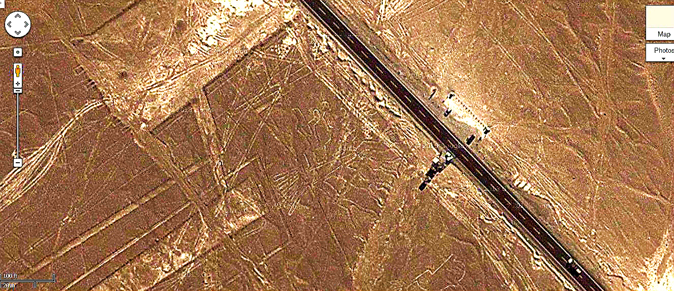
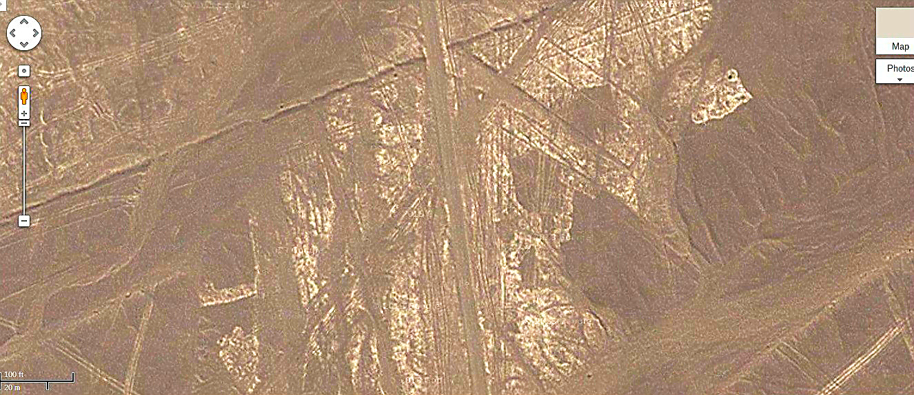
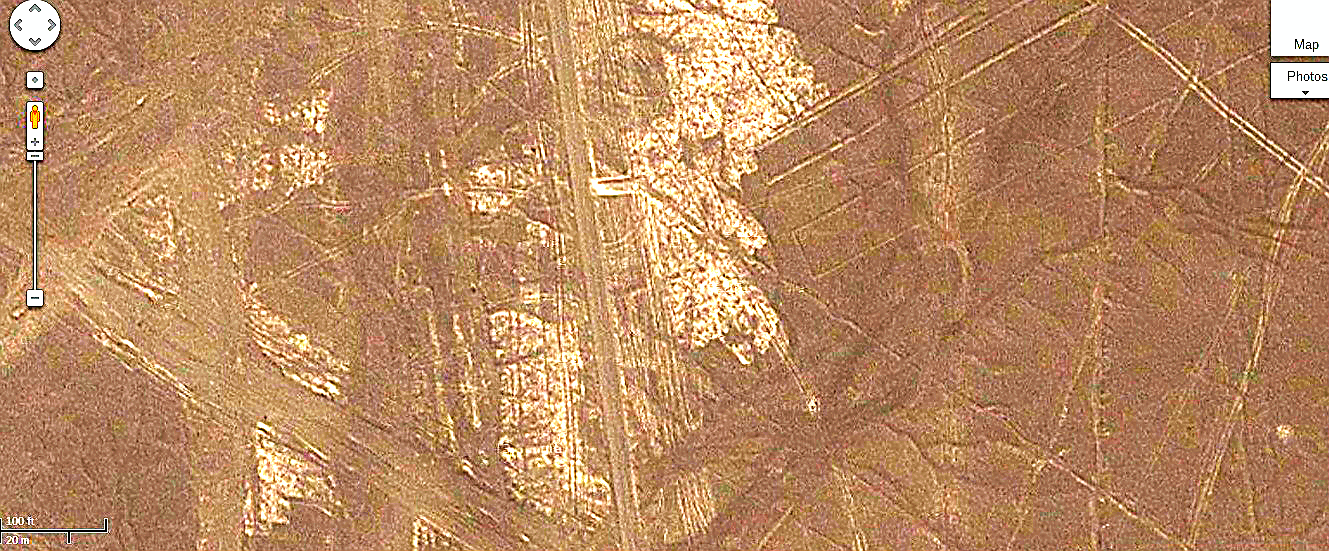
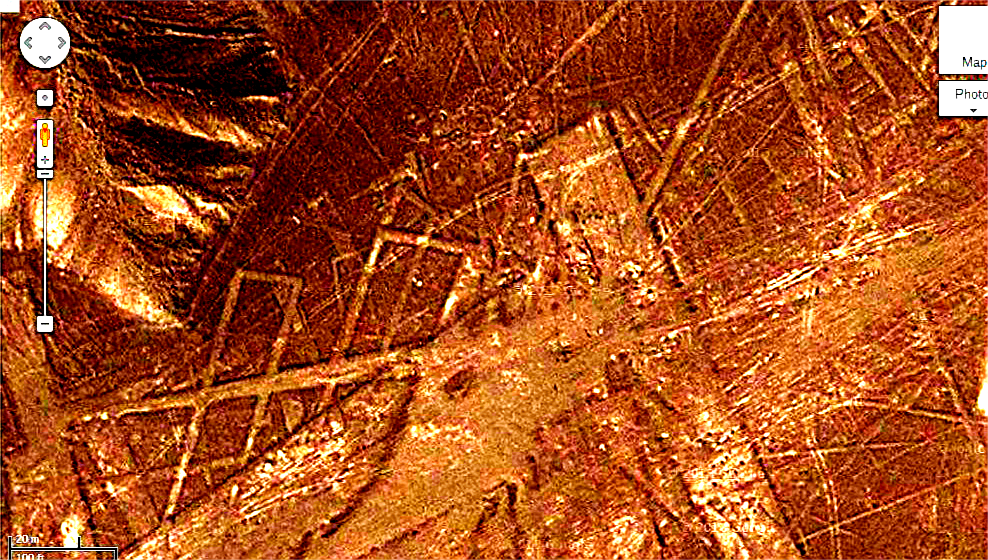
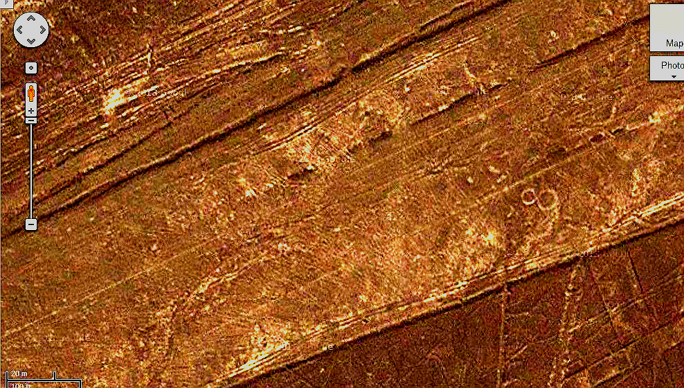
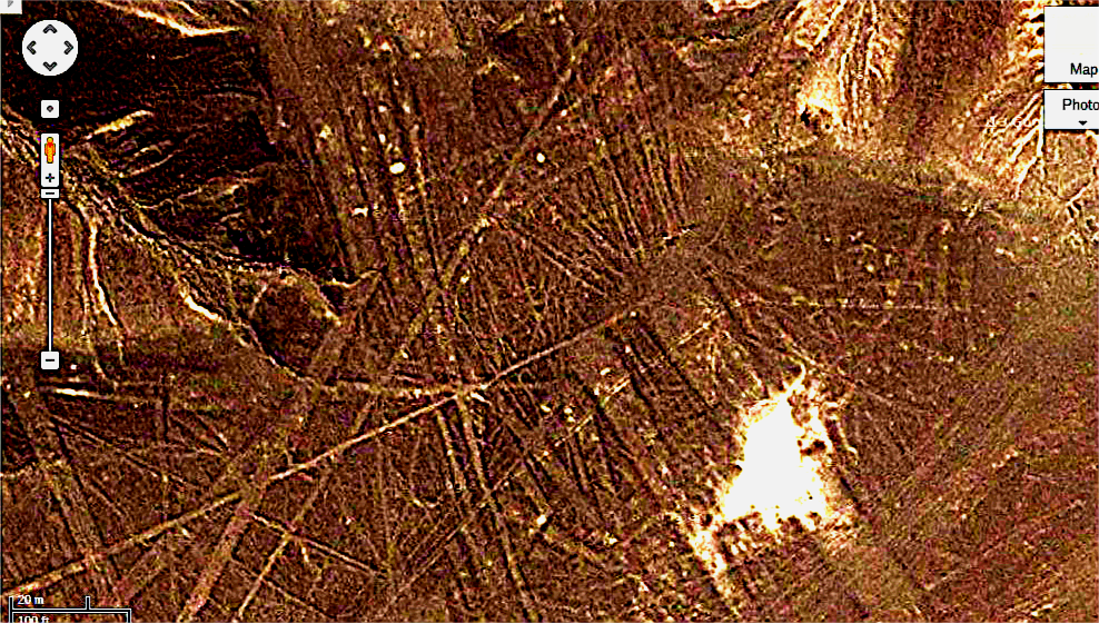
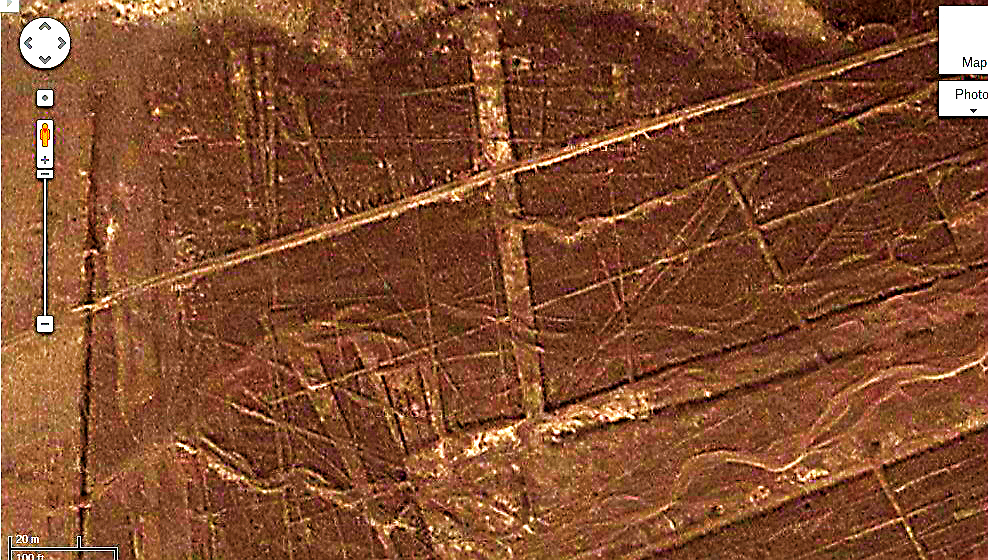
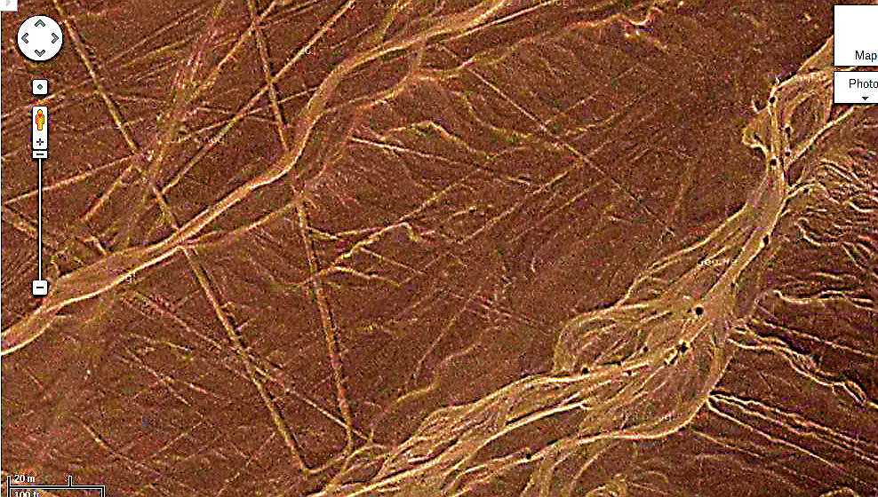
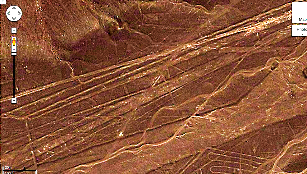
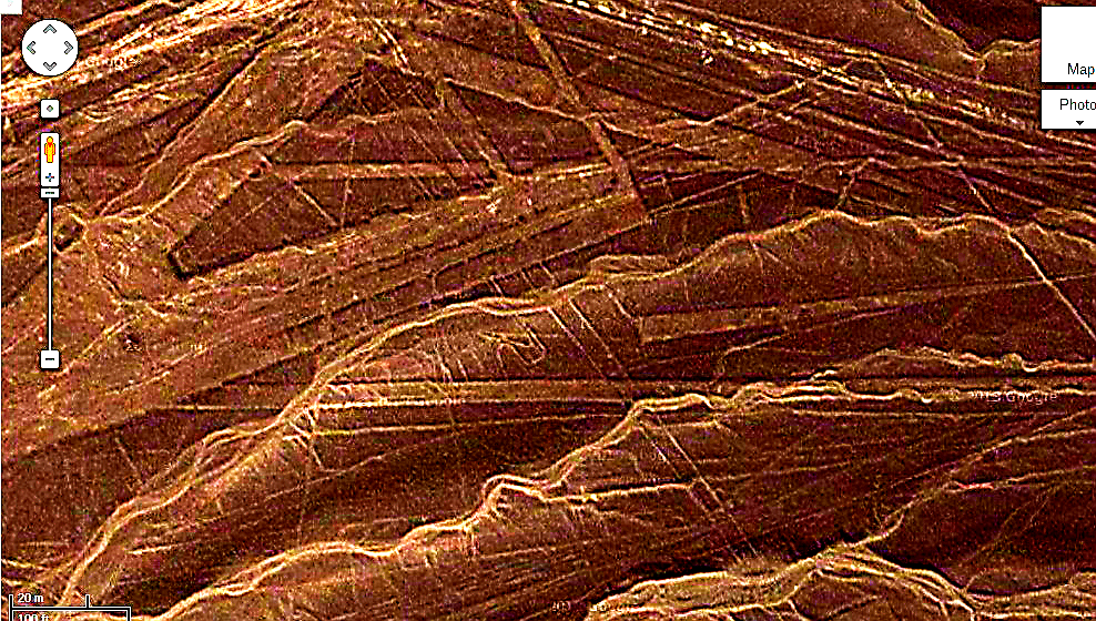
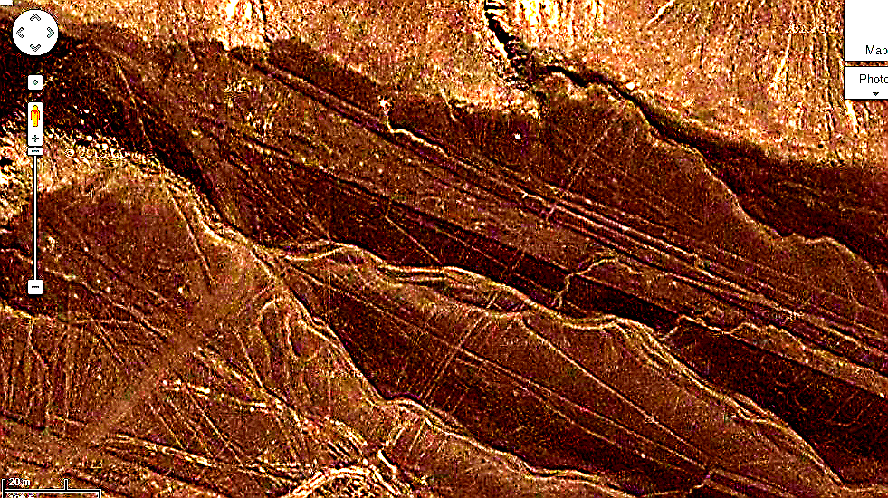
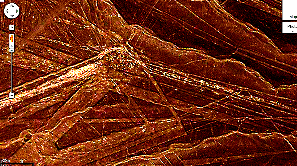
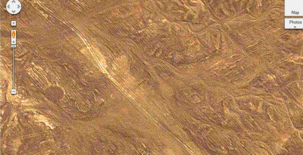
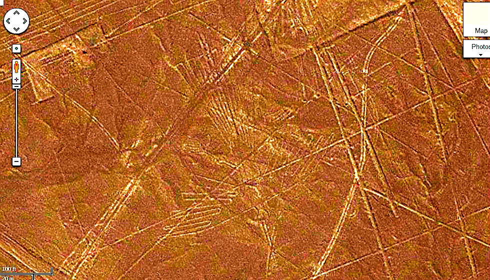
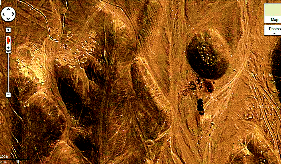
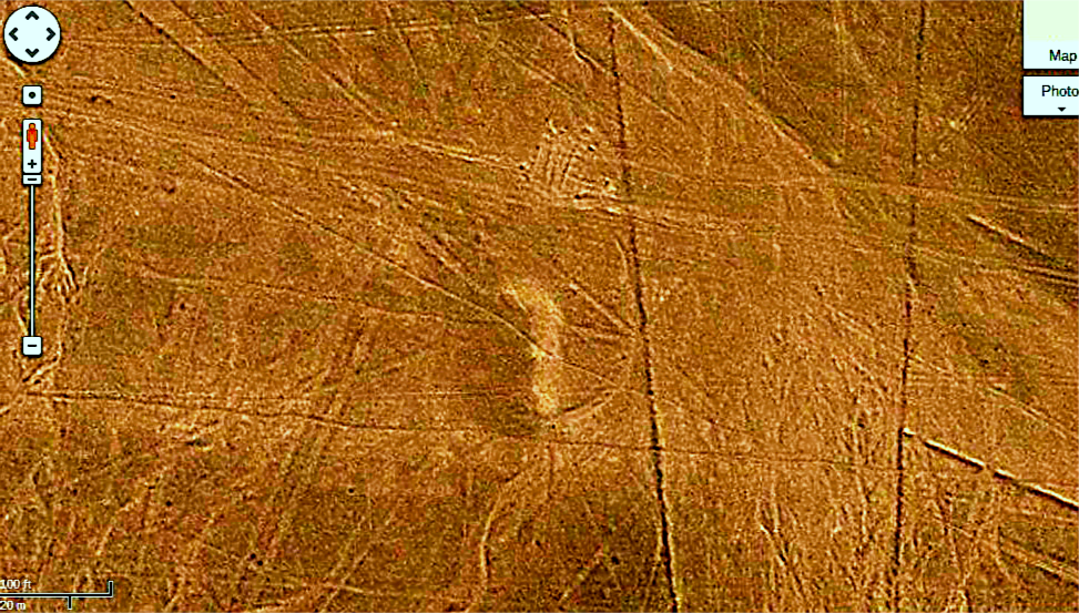
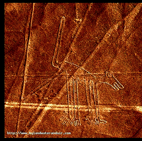
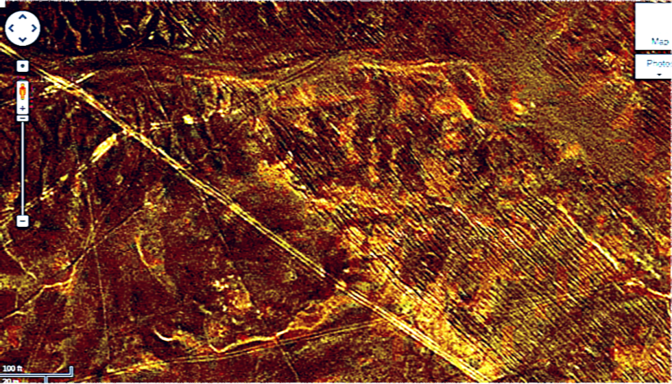
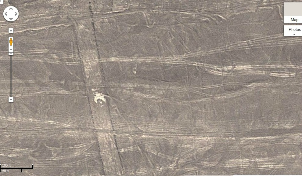
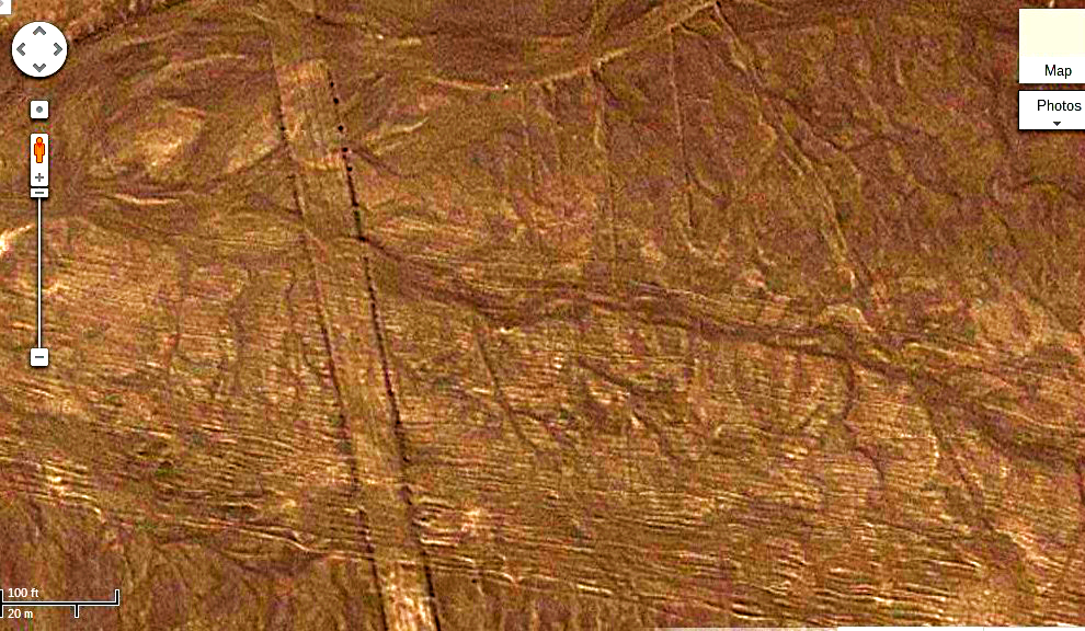
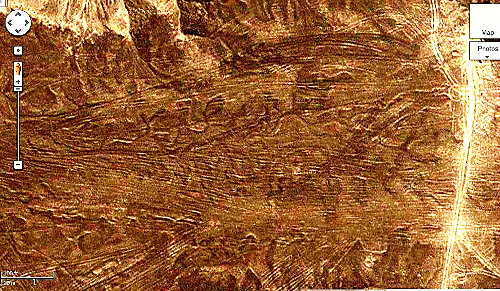
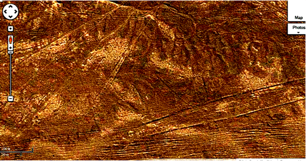
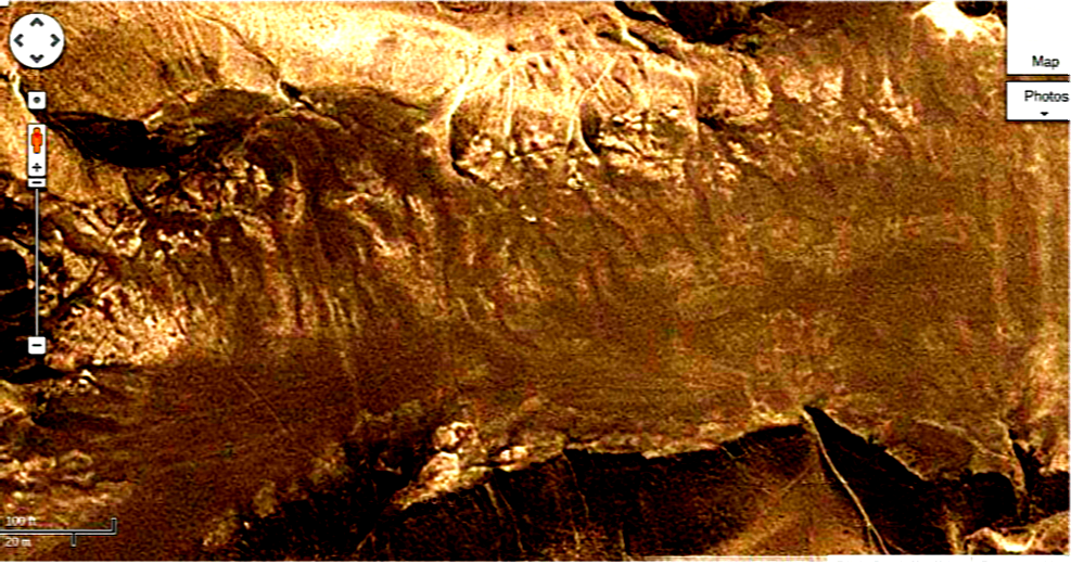
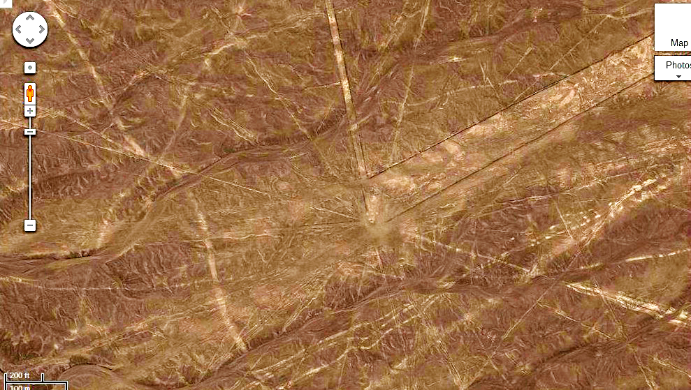
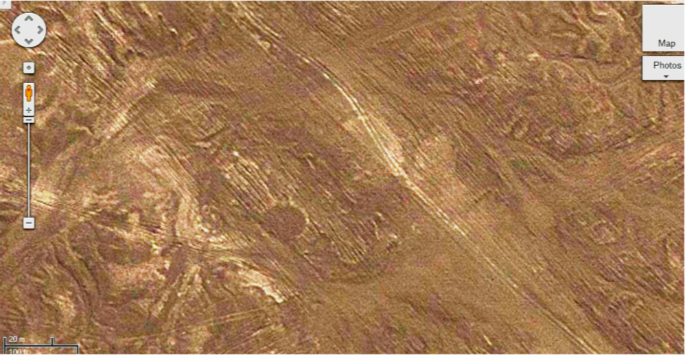
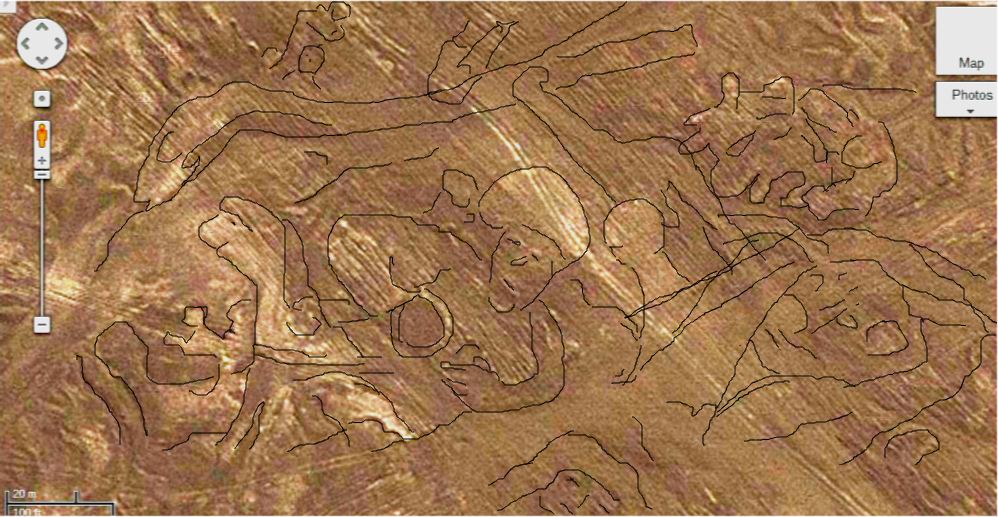
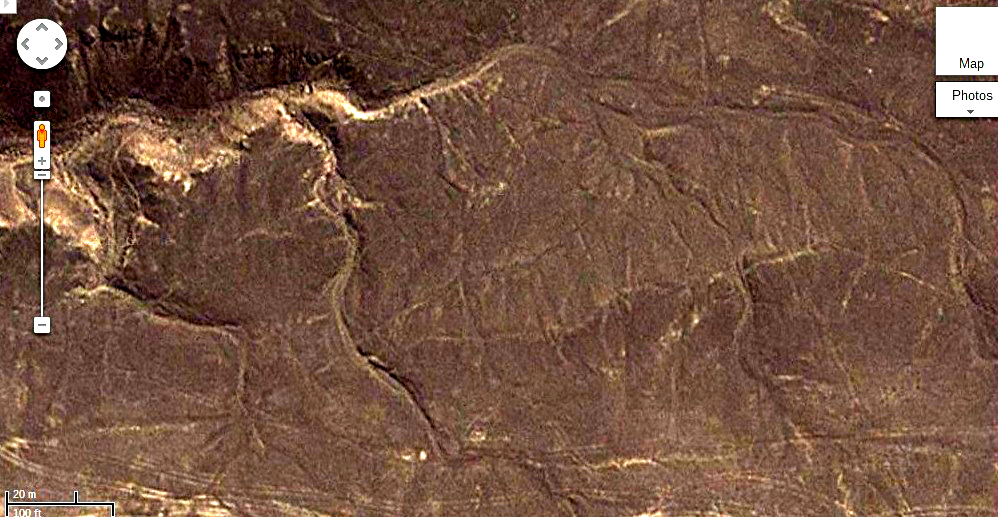
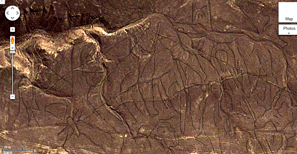
After seeing the lines on the plains west of Lake Poopo I decided to examine the Nazca lines themselves. When you view the Nazca lines without image processing there is nothing unexpected seen. Just the lines that we have all seen many times before. Most of the features visible in Bolivia on this website have been processed using techniques that I developed for enhancing astronomical images to reveal hidden features in distant galaxies. When these techniques were used on the Plains of Nazca thousands of new features appeared. Hundred of images are apparent of every description. Virtually every square meter of the plain is covered with fine lines and images. It reminds me of how you make holograms by an intricate network of fine lines. It makes some area appear three dimensional and it seems that where the land is cleared in the areas that appear like landing strips actually are covered with even more intense imaging almost as if the people who were making these features were clearing the land to reveal the images under the overlaying strata. Remember that when you are looking at the images that the land is flat and the three dimensional effect was created by the artists. When the images were processed it reminded me of the difference between looking at the Shroud of Turin under normal light and then seeing it with the image processing and the negative images. See for yourself there are astonishing images and features that take the Lines of Nazca to a whole new level. There is even images of people that look like there are lying on the plain. There are so many symbols and some strongly resemble the markings on the inscribed stone found near Brighton. In one of the images there is a spiral with what appears to be a man standing beside it. Then there is a wide cleared area that has what appears to be lettering along the side. To the left of this array is what looks like a thick letter "C". This same symbol is found over thirty times on the inscribed rock near Brighton Ontario thousands of miles away. Archaeologists are also now digging upon some of the heads found on Easter Island and they are in fact the tops of immense statues and they are covered with symbols and some of these appear to be similar to the ones on the Nazca Plain and at Brighton.
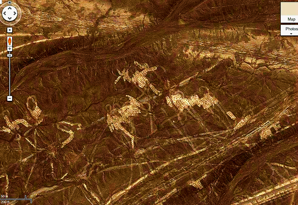
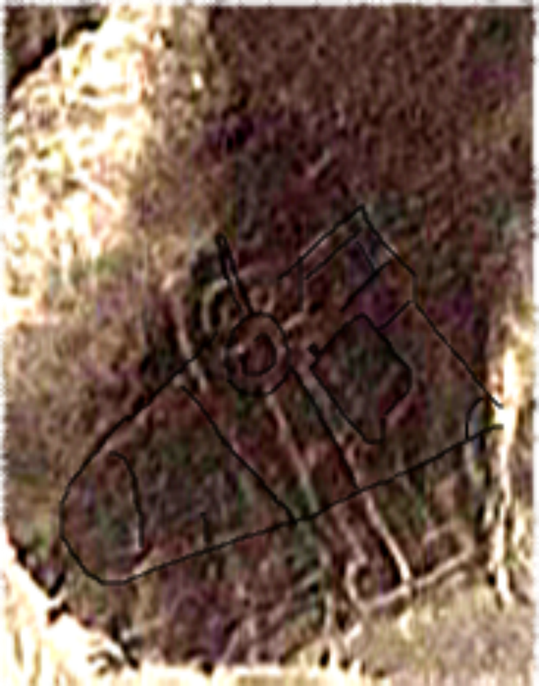
When I started looking at the Nazca I did not think that there was anything to find there, but I was dead wrong. I figured that the area would have scoured so that there would no stone unturned. In fact it appears that the archaeologists have been too busy trying to explain away the high technology aspect of the lines so they did not really look at them. In the are that is highlighted I just wanted to know what the symbols were, so I just drew on top of the lines and images began to appear. People were most unexpected, but of course the Mastodons is extremely shocking. They went extinct 11,000 years ago in the area, so what are they doing on the pictures on the plain?
Some of the lines are roads and there is much evidence of four wheeled vehicles tracks across the plain. They look virtually identical to the tracks made by modern vehicles in other area of the desert, but the problem is that they go under some of the lines in many places. We have knowledge of the South Americans ever having wheeled vehicles before the European invasion. So, this is a problem that has no easy answer.
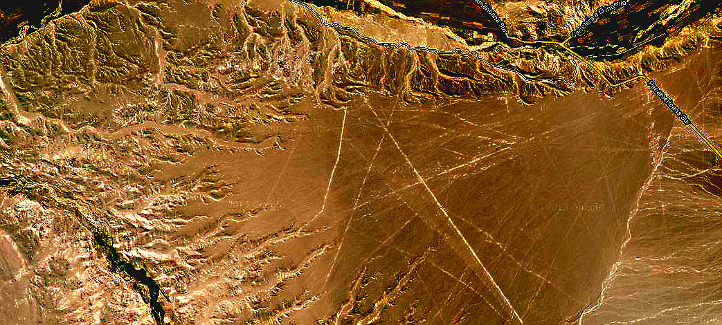
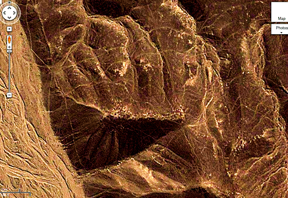
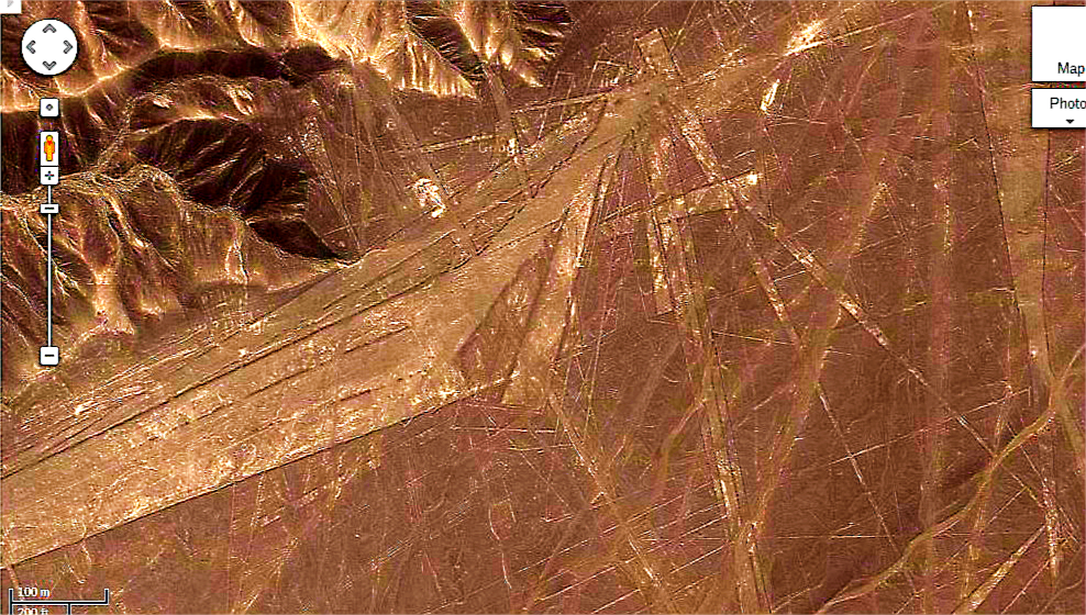
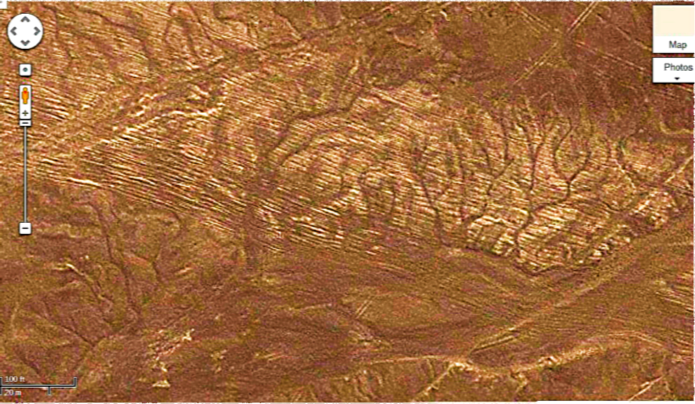
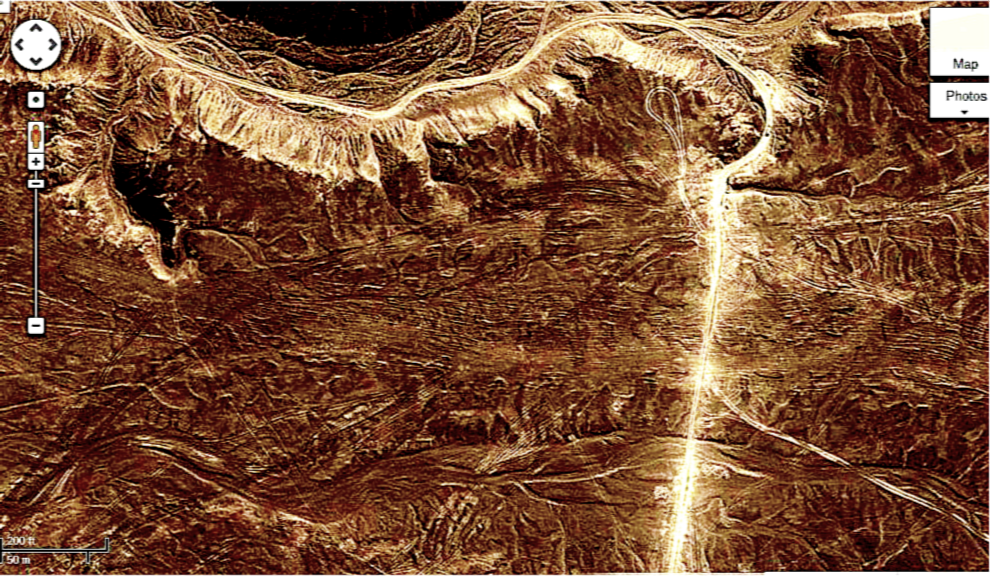
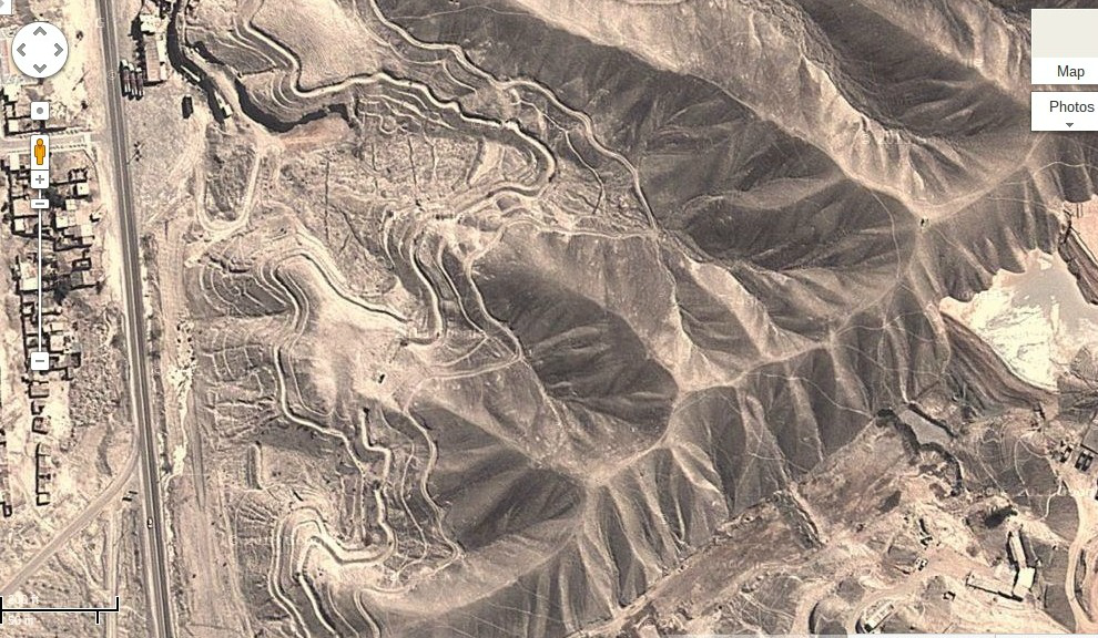
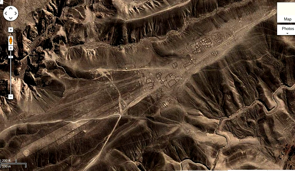
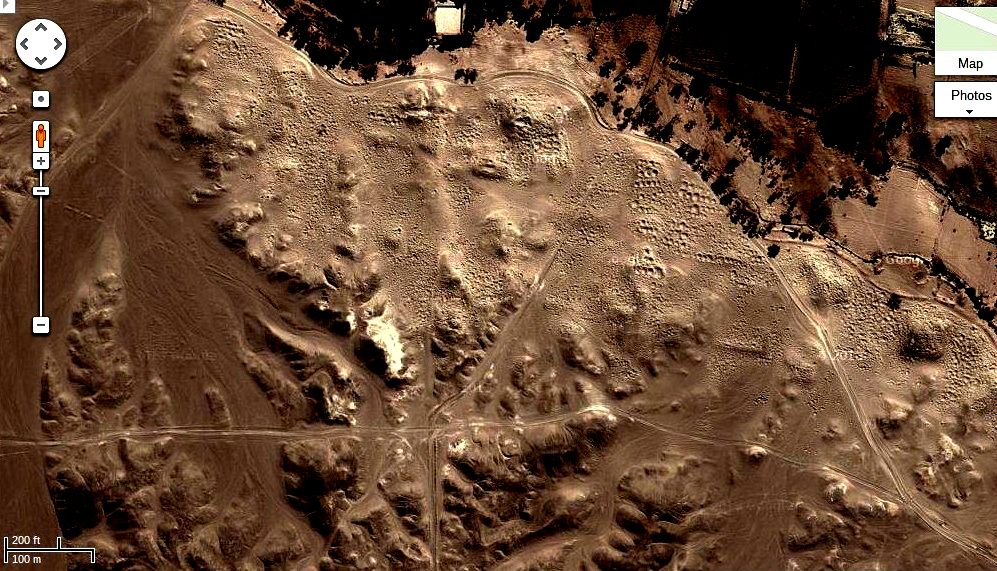
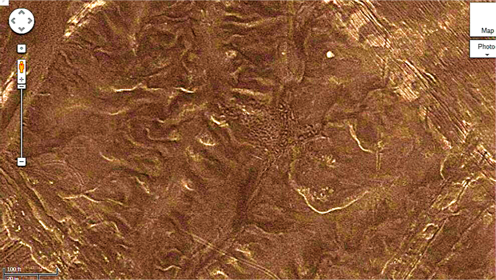
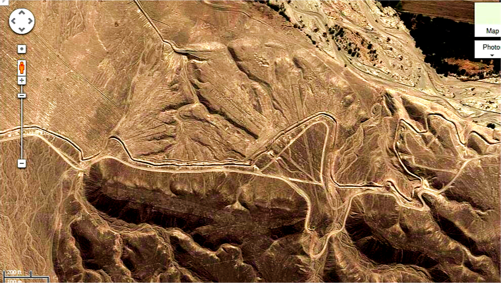
In fact the area to the north around Palpa, about 30 km. north of Nazca, is almost as heavily marked as the Nazca plain, but it is mostly in the hills. There is a ditch that runs along the southern edge of the valley I appears quite deep and in several area it crosses lines, but in some places it appears to over lines, so it must be very ancient. There are also many of the runway type patterns, There must be hundreds of them in total. It appears to run about ten miles and is very complex in its path along the mountains. In the whole north mountain range has been carved into amazing shapes with terraces and fine networks of lines and dots. The area of terraces that I have seen so far that are just carved is over 10,000,000 square meters, or about 400 football stadiums carved into the rock. They do not look like agriculture. The ditch .Outside of the ditch there are thousands of pits where looters have pillaged the artifacts that must have been in there. In many of the areas where the pits are foundations can clearly be seen of large buildings. It seems very incongruous that this would have just been left to looters with no one interested in finding out what this vast and heavily populated area really was. What is the meaning of this kind of negligence?
The level of detail that is visible in some of the images and the density of the lines, layer upon layer, upon layer is not something that was made in a short period of time. When you see pictures of the lines from the ground there is no evidence that there is any pattern to them. In some very large areas every single stone appears to have been put in place just for the sake of the image. I have no explanation as to how this could even be done. I heard the archaeologist confidently say, "Oh they just moved some of the stones aside and uncovered the lighter coloured rock soil underneath, That may be what they did with at most 30% of the images, but the rest are wide and startling array of styles and techniques. The Monkey has a fact, with eyes, nose and mouth and it appears to be on top of a map of the world as it was during the ice age.
The way that the images were processed just brings out the natural colour of the ground. There has been no alterations of the colours. The natural rock that covers the area is red and the soil is reddish. In some of the washouts you can see red red colour being washed out of the designs. The green appears to have been added for what ever reason. Perhaps like the quipu it means something. This is an ongoing mapping project and it only covers about 10% of the site so far. When it is more complete more rational explanations for what is really there can be made.
Along the northern ridge lining the Valley of Nazca by the river there is a ditch that runs for ten kilometers. It is exactly the same design as the one at Palpa, but there is no terracing. At the west end of the ditch it breaks into multiple ditches and there numerous constructions along the way. The looting outside the ditch is the worst thing imaginable. Tens of thousands of pits have been dug. These are especially numerous where old foundations are visible. Ten kilometers to the south is another smaller area that has what appear to be very old geometrical lines. Some of these are quite elegant. There appears to be a large area of extensive ruins in this area. There is looting evident all along the area where the ruins appear to be. Throughout this region there are massive ruins which are probably very significant as they are being heavily looted. The lines in this area are more precise and there are great walls that are now in ruins. The lines go across a hilly area that is the remains of what appears to be a city.
From all of this we can begin to draw some conclusions. The quipu is read from the center to the outside and the lines run in this type of fashion both in Bolivia and Peru. We write in lines and so the arrangement is foreign to us as we are used to seeing things in lines and this is the way we construct our cities. The ancients in South America built from radiating points that were water sources, wells and the like. In the early days of Quebec, an example is shown of Bourge Royal that was constructed in the early 18th. century, where a similar pattern of land distribution was made and the fields to this day radiate from a central point so that all the fields have access to the water source. The pattern is very evident in the cities under the sand in Bolivia where the lines radiate from central points. This is why the Bolivian Nazca looks that way. The radiating points in Boliva all have remnants of some kind of construction at their centres.The cities in the study region are all arranged in this type of manner and even if we look at the Nazca plain at the center of the radiating lines is usually some sort of construction that may be the remains of wells and buildings. The area to south of the Nazca plain is obviously an ancient city and it appears to be in that location due to the much older ruins in the hills in the desert. Probably during and just after the ice age this are had more rain and gradually the area dried out until only the desert remained as we see it today. Most of the longer lines on the Nazca Plain lead to city sites and so are most likely roads. It appears that much of the plain was decorated with lifelike images in the distant past and the more recent Nazca culture from about 200BCE to about 500AD made inscriptions on the plain to emulate the ancients. I don't believe they knew what the lines were, but probably venerated them as the work of the gods.
From astronomical perspective the Nazca Plain is very revealing. There are least two planispheres on the plain and they must have using to predict the positions of the heavenly bodies and for timekeeping. To the ancients of course astronomy meant what we astrology. They were using the using the instruments to predict the future just as any astrologer does. Both of the planispheres are aligned just north of east the position of the sunrise at the winter solstice. I could easily be that the entire plain is like type of talisman to alter the cosmic conditions to prevent disasters. So, a major function of the lines is to perform magic, as is often associated with astrological practices. It could be considered then to be a kind of magical machine to control reality. Talismans are still relatively quite common where you have pendants with symbols on them to bring good luck. The most ancient and most advanced art work's intent was magical in nature. Placed on the arid plain as a form of worship of the ancient gods, who they probably thought lived in the sky.
The area covered with ruins and lines is about 1500 square kilometers. Why have they been misinforming us about Nazca and why is there so little protection for the area? This kind of looting in any other place would be punished with severe penalties. The loss to humanity is inestimable. The looters and the Peruvian Government should be ashamed of themselves. The Peruvian Government probably claims under funding, but billions in artifacts have obviously been removed, so that is not an excuse. They are throwing away money. This seems more like some kind of conspiracy due to the fact that the Spanish Peruvians are very prejudiced towards the Native Peoples as a neurotic reaction to their own heritage of persecuting them.
Copyright, Brian T. Johnston 2014, Peterborough, Ont. Canada.